
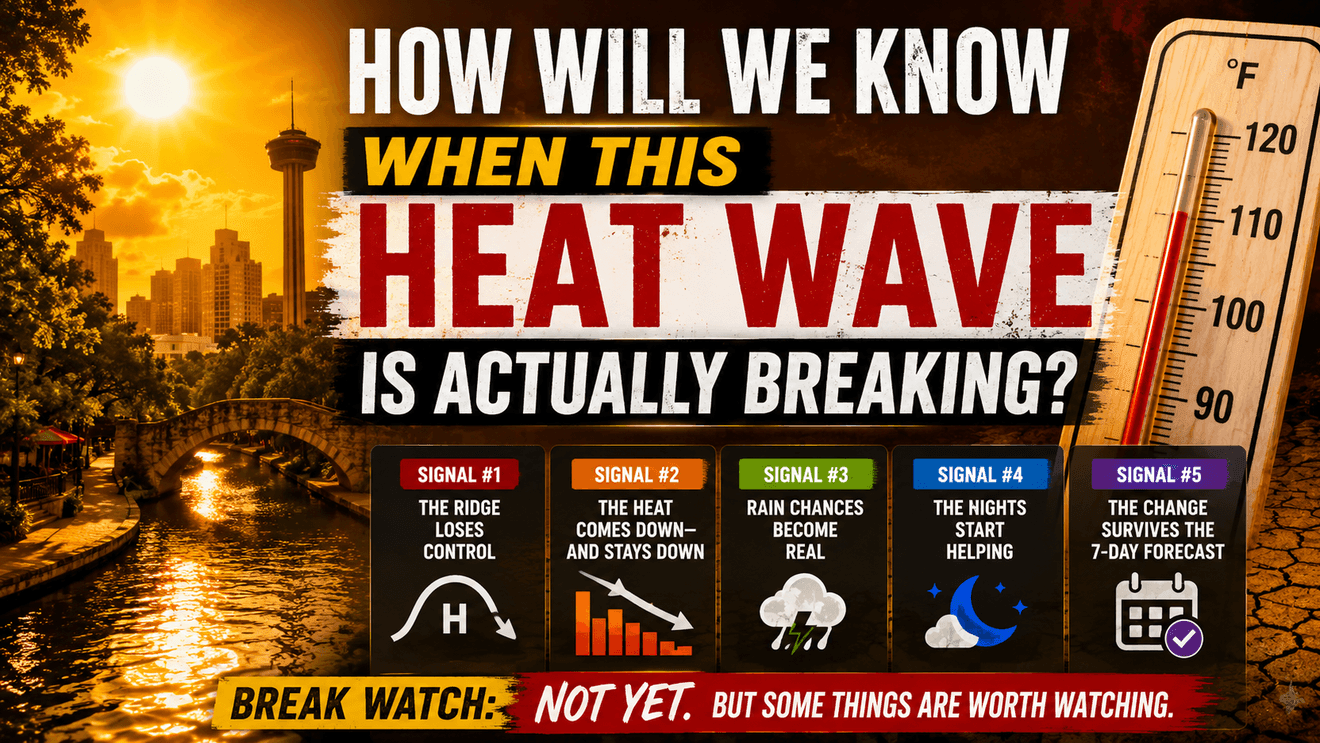
SAN ANTONIO – A temperature drop of a degree or two does not necessarily mean a heat wave is ending. The atmosphere has to start telling us a different story.
South-Central Texas begins another week under dangerous heat, and there is little evidence yet of a substantial change.
The hottest air mass of the summer may actually be behind us. A Heat Advisory remains in effect through Wednesday for the I-35 Corridor, Coastal Plains and portions of the Hill Country.
GOOD NEWS: There are hints of some change later this week.
BAD NEWS: It’s not enough to declare the heat wave broken yet.
I’m watching for several changes in the atmosphere that would tell us this prolonged pattern is actually beginning to lose its grip.
Signal #1: The Ridge Loses Control
The first thing I’m watching is the upper-level ridge responsible for maintaining the hot pattern. Through at least Wednesday, that ridge will remain centered over New Mexico and continue influencing South-Central Texas. After midweek, however, the ridge will shift slightly west and stretch farther north. That allows the upper-level wind flow to change enough that some high clouds could begin moving across the region.
That’s an interesting sign. But it isn’t a complete pattern change. For a convincing break, we’d want to see the ridge completely move out or weakened enough that other weather systems can begin having a greater influence on Texas.
Signal #2: The Heat Comes Down — And Stays Down
This one is important. One slightly cooler afternoon doesn’t end a heat wave. Cloud cover, humidity or subtle changes in wind can knock a couple of degrees off the temperature without changing the weather pattern. What we’re looking for is a sustained downward trend.
GOOD NEWS: There is finally a hint of one. I’m expecting a small drop in high temperatures during the second half of the week with the arrival of more high clouds. Next weekend, the core of the hottest air should be located a little farther northwest.
BAD NEWS: That’s not enough to call it a BREAK. Afternoon highs will remain generally in the upper 90s to lower 100s.
Signal #3: Rain Chances Become Real
This may be the signal everyone wants to see.
GOOD NEWS: There is finally a rain opportunity in the forecast for Thursday afternoon and evening. A weak disturbance could move quickly from the Texas Panhandle toward South-Central Texas, while temperatures higher in the atmosphere become more favorable to thunderstorm development.
BAD NEWS: Moisture and upward forcing of air remain limited. That keeps rain chances generally at or below 30% across most areas.
So, Thursday is worth watching. It is not something to plan around yet. One isolated thunderstorm isn’t going to end the heat pattern anyway. A genuine break would involve a more persistent change that produces greater cloud cover, wider rain opportunities or a different air mass.
Signal #4: The Nights Start Helping
Afternoon temperatures get most of the attention, but nighttime conditions are another useful clue. During a persistent heat wave, warm nights give buildings, pavement and the human body less opportunity to shed accumulated heat.
I’m looking for mornings that become noticeably more comfortable and for that improvement to persist—not simply a one-night wonder. That would tell us the air mass itself is beginning to change. Right now, I don’t see that happening.
Signal #5: The Change Survives the 7-Day Forecast
This may be the most important test. Weather models occasionally show relief several days away only to push it farther into the future as we get closer. That’s why I’m not going to declare A BREAK IS HERE because one cooler number suddenly appears late in a forecast. It has to change and hold day after day.
So, Is the Heat Wave Breaking? Not yet. There are finally a few things worth watching during the second half of this week: the ridge shifts somewhat, temperatures may trend modestly downward, additional cloud cover becomes possible and Thursday introduces a limited opportunity for rain. But none of those currently represents a real pattern change.
The weekend forecast highlights the difference perfectly. Temperatures may not reach the extremes we’re seeing early this week, but highs will be generally from the upper 90s into the lower 100s, with dry weather.
That’s not the end of summer heat. It’s potentially the beginning of the atmosphere beginning to loosen its grip.
The Bottom Line
I’m watching five signals:
1.The ridge weakens or moves.
2.Temperatures come down and stay down.
3.Meaningful rain opportunities return.
4.Nights become more comfortable.
5.The change survives as it moves closer to the forecast day.
When those signals begin lining up, we’ll know something important has changed.
GOOD NEWS: For the first time in a while, there are a couple of things later this week worth watching.