
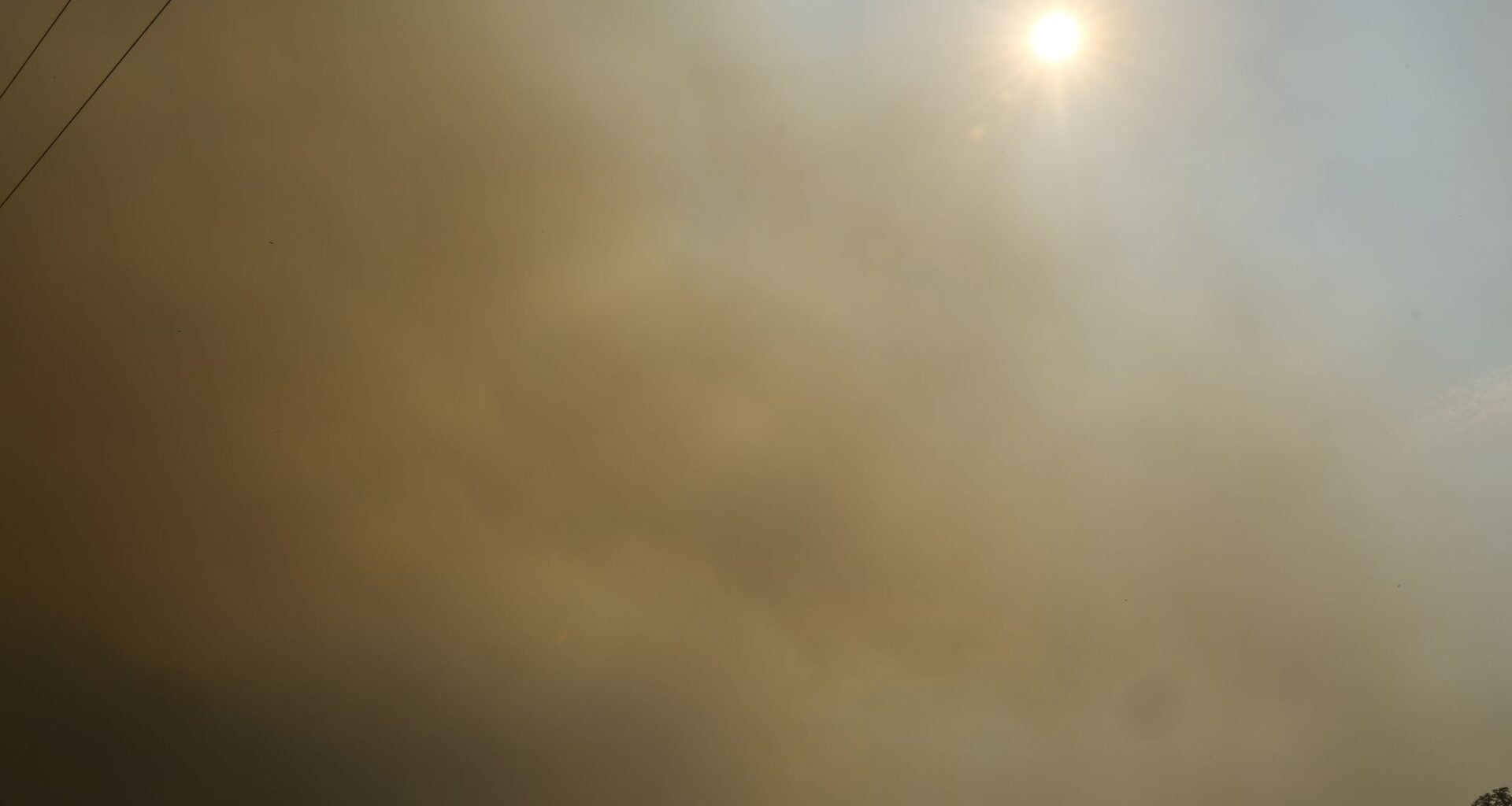
The sun is seen through a thick haze of smoke from the Ross fire, Tuesday, Aug. 25, 2026, in Jack County, Texas.
Elías Valverde II/The Dallas Morning News
A fast moving pop up storm that swept through parts of North Texas Wednesday evening knocked out power, downed trees and triggered traffic signal malfunctions, authorities said.

The brunt of the damage appeared to have been limited to North Richland Hills, where the city said it responded to over 100 calls for service during the peak of the storm. About 2,000 residents were without power, and damage assessments were ongoing Wednesday night, officials said in a social media post.
According to officials, the areas most impacted in the city appeared to be east of Rufe Snow Drive, south of Bursey Road and north of Mid Cities Boulevard.
Article continues below this ad
Earlier in the evening, the National Weather Service had issued a Severe Thunderstorm Warning for parts of North Texas as an isolated storm moved through the region.
According to the weather service’s Fort Worth office, the warning covered eastern Tarrant County and west central Dallas County and it was in effect until 7 p.m. The weather service had earlier issued a warning for southeastern Wise County, southwestern Denton County and northern areas of Tarrant County that was in effect until 6:30 p.m.
While some in Dallas-Fort Worth saw evening storms, it stayed hot and dry for the vast majority of residents in North Texas.
The storms follow days of triple-digit temperatures that have blanketed the region.
The National Weather Service’s office in Fort Worth issued a heat advisory warning that will be in effect until 9 p.m. The heat advisory comes after an extreme heat warning that was first issued on Aug. 18 and extended until 9 p.m. Tuesday.
Article continues below this ad
Heat advisories are not as dangerous as extreme heat warnings, but North Texans are still advised to consider delaying any outdoor activities and drink plenty of water, even if not thirsty.
Temperatures are expected to reach a high of 103 degrees, according to the weather service’s forecast, but it could feel closer to 108 degrees in some spots due to the heat index. The low will be 79 degrees in the evening.
Related: Map: See where wildfires are burning across Texas
The persistent hot, dry weather have been cited as factors that have fueled wildfires burning in Palo Pinto and Jack counties and elsewhere in the state.
The heat is expected to back off some due to a 20 percent chance of scattered showers and thunderstorms that are possible around 1 p.m. Wednesday, according to the weather service. There will still be a chance of some showers and thunderstorms in the evening and again on Thursday, but most areas will stay dry.
Article continues below this ad
Wednesday’s forecast follows triple-digit heat on Tuesday. According to the weather service, temperatures reached a high of 101 degrees around D-FW. That was about 7 degrees higher than the normal high of 94 degrees on Aug. 25, but well below the date’s record of 110 degrees that was set in 2023.
The latest from KXAS-TV (NBC5):
THURSDAY: Sun, clouds and hot. Low: 80. High: 100. Wind: NNE 5-10 mph.
FRIDAY: Mostly sunny and hot. Low: 79. High: 100. Wind: SE 5-10 mph.
SATURDAY: Mostly sunny and hot. Low: 79. High: 101. Wind: S 10-15 mph.
Article continues below this ad
SUNDAY: Mostly sunny and hot. Low: 79. High: 101. Wind: S 10-15 mph.
MONDAY: Mostly sunny and hot. Low: 80. High: 101. Wind: S 10-15 mph.