
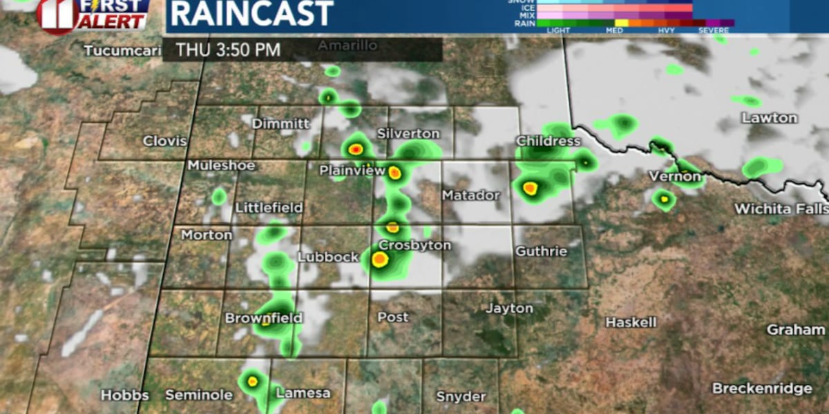
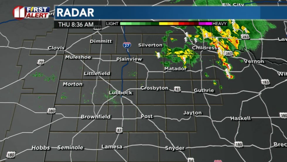
LUBBOCK, Texas (KCBD) – A complex of thunderstorms that developed overnight in southeastern Colorado has persisted through the night and is now moving across the northeastern South Plains.
 KCBD(KCBD)
The storms have remained below severe limits so far, though observations have shown gusty winds up to 35 mph. If storms are able to strengthen, there’s a low potential for hail, though this remains unlikely.
What to expect Thursday:
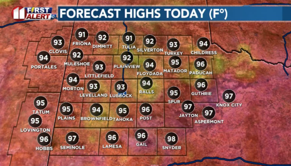
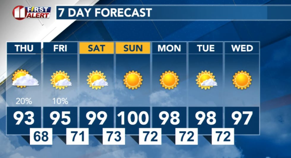
Cooler temperatures will settle in across the South Plains on Thursday, with highs only reaching the low to mid-90s.
 KCBD(KCBD)
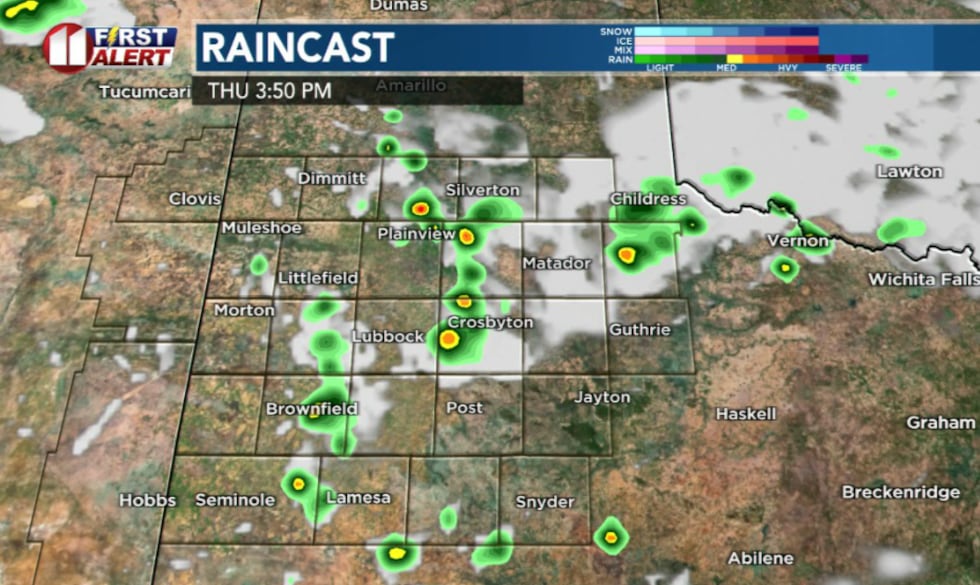
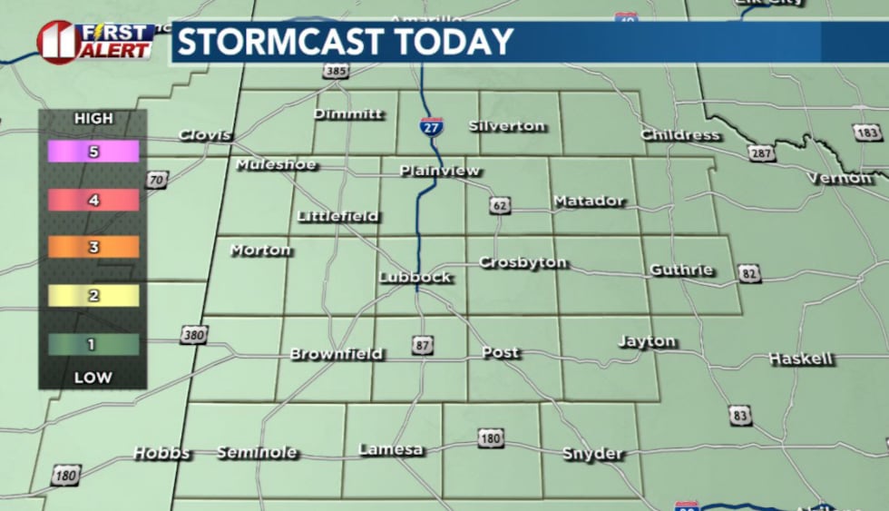
Another round of storms is expected to move into the northeastern portion of the viewing area this afternoon and evening. This system could bring much-needed rainfall to the region.
 KCBD(KCBD)
A few afternoon and evening storms could produce strong to marginally severe wind gusts up to 70 mph, along with locally heavy downpours.
 KCBD(KCBD)
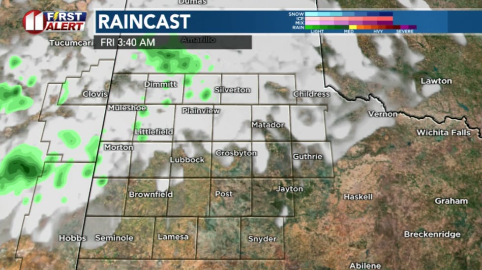
Thunderstorms may continue late Thursday evening into early Friday morning, especially across the western South Plains. Overnight lows Thursday will drop to the 60s to mid-70s under partly cloudy skies with light southeasterly winds.
 KCBD(KCBD)
The weekend outlook:
Warmer temperatures will return Friday through Sunday with no precipitation expected. This will be your best stretch of weather for outdoor plans, because rain chances will stay minimal.
 KCBD(KCBD)
Copyright 2026 KCBD. All rights reserved.