
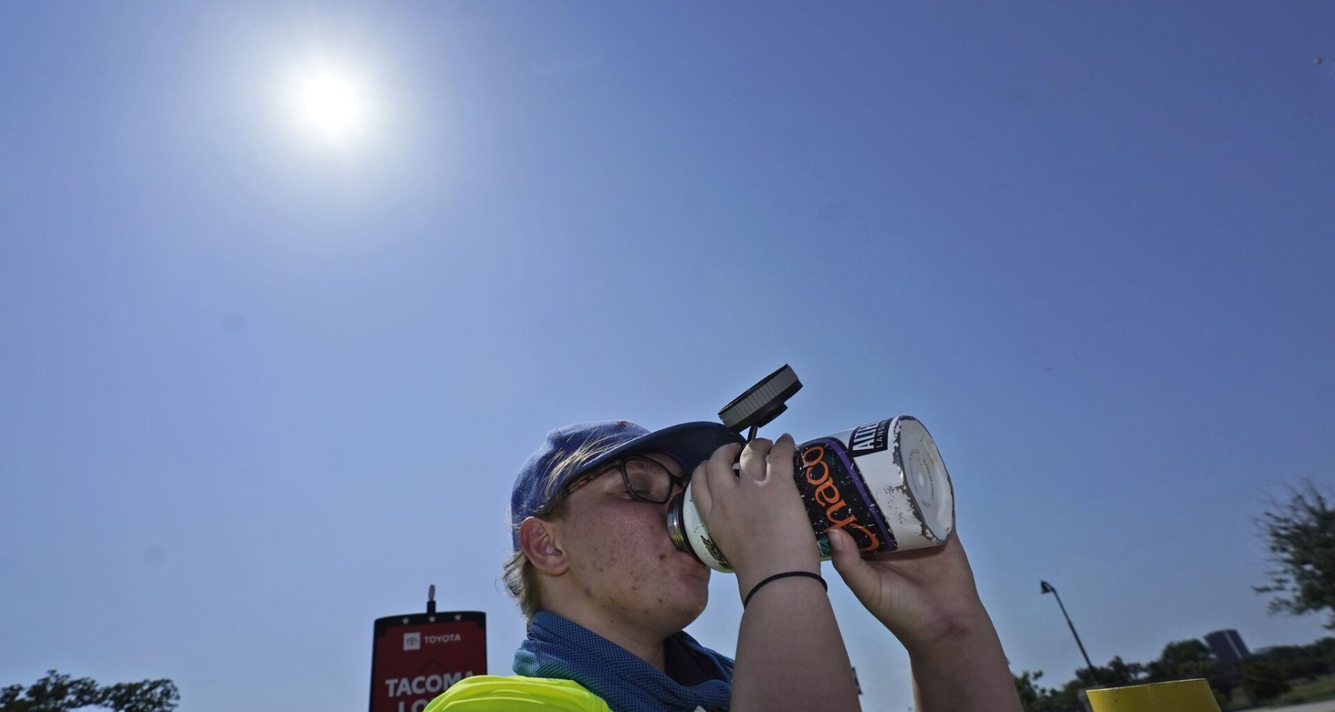
Saturday’s high is forecast to be 102 degrees, with a heat index, or a “feels like” temperature, of 105. Early morning temperatures will dip into the high 70s before climbing up into the 80s.
Relative humidity levels are expected to increase slightly heading into the weekend compared with earlier this week.
Above-normal heat and below-normal rain chances are likely to continue into the first week of September, as the current heat wave is expected to stick around through at least Sept. 7, according to the weather service.
Despite brief storms Wednesday, most of Dallas-Fort Worth remained dry, adding to the region’s drought concerns. Parts of the state facing moderate drought have increased from 36.11% to 57.36% in the last week, according to the U.S. Drought Monitor.
The hot and dry conditions will also raise fire concerns, particularly west of Interstate 35, according to the weather service. Firefighters are continuing to battle the Ross fire in Palo Pinto County, as new grassfires pop up around the region.
The weather service extended its air quality alert through Saturday due to smoke from wildfires in the region.
Residents should avoid activities that could spark a wildfire and never leave a fire unattended. The weather service recommends avoiding unnecessary outdoor burning while conditions remain dry.
SATURDAY: Mostly sunny and hot. High: 101. Wind: SE 5-10 mph.
SUNDAY: Mostly sunny and hot. Low: 79. High: 101. Wind: S 10-15 mph.
MONDAY: Mostly sunny and hot. Low: 80. High: 101. Wind: S 10-15 mph.
TUESDAY (SEPTEMBER BEGINS): Mostly sunny and hot. Low: 80. High: 101. Wind: S 10-15 mph.
WEDNESDAY: Mostly sunny and hot. Low: 80. High: 102. Wind: S 10-15 mph.
THURSDAY: Mostly sunny and hot. Low: 79. High: 102. Wind: S 10-15 mph.