
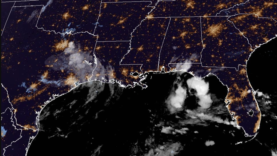
Edouard’s remnants to bring continued heavy rain, flooding to parts of Texas, NHC says


The remnants of Edouard are moving across Texas Thursday morning, bringing additional heavy rain and possible flooding, according to the National Hurricane Center.
This content is imported from x. You may be able to find the same content in another format, or you may be able to find more information, at their web site.
Edouard made landfall Tuesday afternoon near Johnson Bayou, Louisiana, as a tropical storm.
The system is moving west-northwest at about 5 mph, a motion expected to continue until dissipation.
Maximum sustained winds are near 25 mph, with higher gusts.
Slow weakening to dissipation is forecast over the next 24 hours. The estimated minimum central pressure was 1,012 millibars, according to the NHC.
The main threat from Edouard’s remnants is rainfall and flooding.
Rainfall:
An additional 2 to 4 inches of rain was possible across northeast Texas on Thursday, according to the NHC. Total rainfall along Edouard’s path could reach 5 to 10 inches, with isolated maximum totals of up to 22 inches.
The NHC said additional rain could cause more flash flooding, particularly in low-lying and urban areas. Isolated moderate-to-major river flooding was also expected.
Tracking the Tropics
Stay with WESH 2 online and on-air for the most accurate Central Florida weather forecast.
Download the WESH 2 News app to get the most up-to-date weather alerts.
The First Warning Weather team includes First Warning Chief Meteorologist Tony Mainolfi, Eric Burris, Cam Tran, Victoria Wisniewski and Luke Vickery.
>> 2026 hurricane season | WESH long-range forecast
>> Download Very Local | Stream Central Florida news and weather from WESH 2
RESOURCES | HURRICANE SUPPLIES | SURVIVAL GUIDE | HURRICANE SEASON SPECIAL | WESH LONG-RANGE FORECAST | WHAT TO KNOW ABOUT INSURANCE | GENERATOR SETUP | TESTING CHAINSAWS | POST-STORM RESOURCES | DOWNLOAD WESH 2 APP