
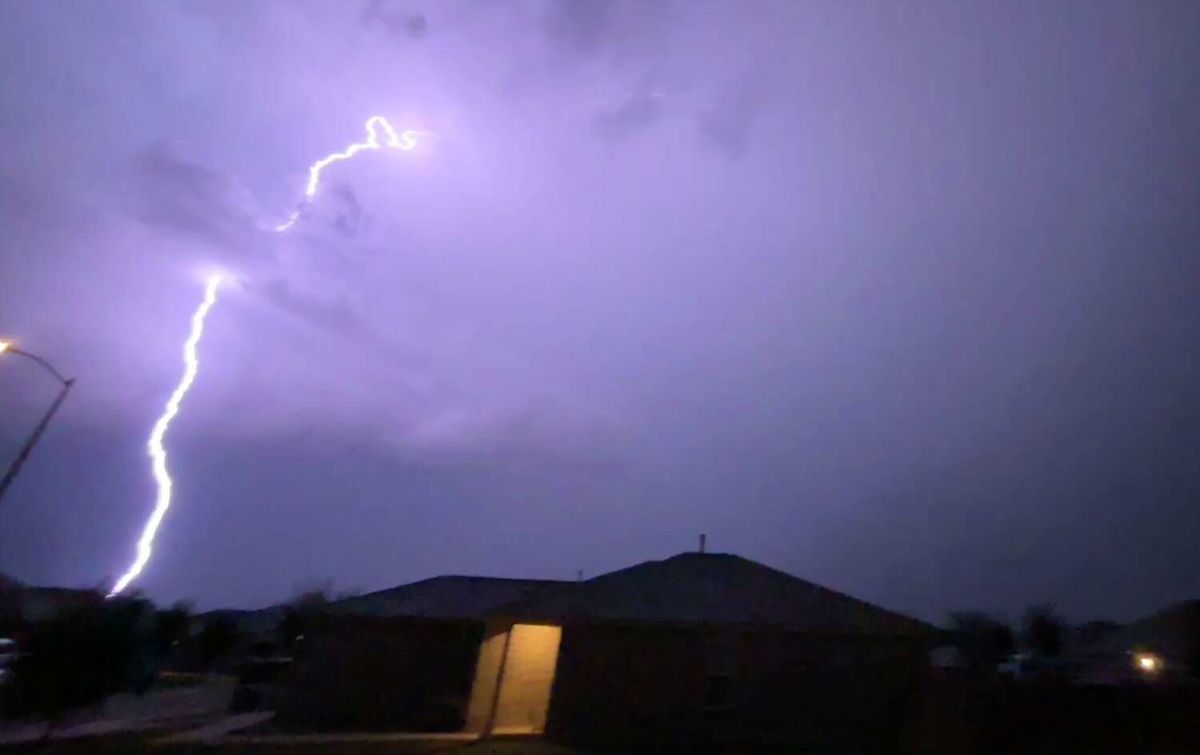
Fall officially began just over a week ago. And while leaves may be changing and afternoons may be cooling down in other parts of the country, the turning of the calendar pages to September means one thing for Texans: a lot of false hope for cooler days, as a cold front barely kisses the Texas border before falling apart. But a cold front barreling across the country this week could spell the first “fake fall,” with plummeting temperatures and storm clouds from Dalhart to Dallas and even down to San Antonio.
This video created with the assistance of AI.

For about two weeks, meteorologists have been reporting that the first cold front of the fall season would reach the Lone Star State. News 4 Chief Meteorologist Chris Suchan predicted the first fall-like front would reach Texas by Wednesday, September 9, and the latest National Weather Service forecasts confirm his early estimates.
The Texas Panhandle is seeing temperature plummets of nearly 10 degrees this week, dipping into the low 90s by Wednesday after several weeks hitting or nearing triple digits. This burst of cold air is also bringing an influx of storm clouds.
“Strong to severe wind gust, lightning and heavy rainfall will be the main hazards as a cold front brings increased chances for storms to the area Wednesday into Thursday,” the National Weather Service Amarillo office warns, noting gloomy skies could plague the region for the coming week.
This cooler air sweeping in from the north also increases the likelihood of storms in North Texas metros, particularly the Dallas-Fort Worth area, later this week. Forecasters say a pair of cold fronts on Wednesday and later in the week will spark rain chances over the DFW area, which could linger through the weekend.
There should be a slight reprieve from 100-degree days by Friday or Saturday, though this is mostly due to gray clouds blocking the sun. This cold front isn’t likely to be strong enough to significantly cool the air from Dallas to San Antonio.
Though the Alamo City also sees a spike in storm chances this week as clouds spin off the merging of the cold front and hot air in the Texas Panhandle, a 20% chance of thunderstorms appears in the San Antonio forecast on Friday. The National Weather Service Austin-San Antonio office says isolated pockets of showers may develop Tuesday and Wednesday.
San Antonio won’t exactly get chilly, but highs in the mid- to upper-90s are a welcome change of pace.
This article originally published at Cold fronts to plummet Texas temperatures, threaten towns with storms.