
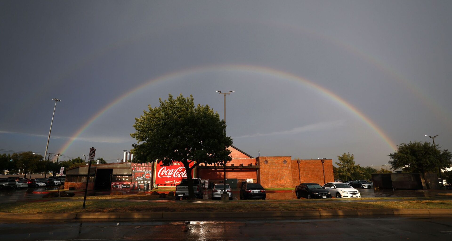
Portions of North Texas are forecast to see a 40-60% chance of storms Thursday afternoon and evening, according to the weather service. The forecast comes after Dallas-Fort Worth tied a record for going without measurable rainfall for nearly two months.
However, not all areas will see rainfall, as storms will be scattered throughout the region.
“Spotty coverage will make for a few lucky folk that get beneficial downpours, but unfortunately, rainfall is not a guarantee for anyone across North Texas,” the weather service said in its Wednesday afternoon forecast.
The main storm threats could include gusts winds, locally heavy rain and frequent lighting, according to the weather service.
Thursday’s high will be 100 degrees, with a heat index, or “feels like temperature,” of 105 degrees. Wednesday’s heat advisory has not yet been extended, but the weather service said it could be issued if needed.
THURSDAY: Mostly sunny and hot with a 20% chance for a few spotty showers or thunderstorms (mainly north and northwest). High: 98. Wind: S 5-10 mph.
FRIDAY: Sun, clouds and hot. Low: 76. High: 98. Wind: S 10 mph.
SATURDAY: Sun, clouds and hot. Low: 80. High: 101. Wind: S 10-15 mph.
SUNDAY: Sun, clouds and hot. Low: 78. High: 98. Wind: S 10-20 mph.
MONDAY: Sun, clouds and hot. Low: 78. High: 97. Wind: SE 10-20 mph.
TUESDAY: Sun, clouds and hot. Low: 79. High: 98. Wind: S 10-15 mph.