
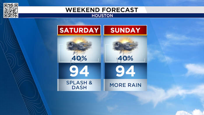
Saturday and Sunday’s Forecast:
Our weather pattern remains consistent. We’ll start our weekend with coastal thunderstorms. In the afternoon storms start to form around the Houston area. By the time we get to the evening the storms come to an end. Here is your live radar.
No description found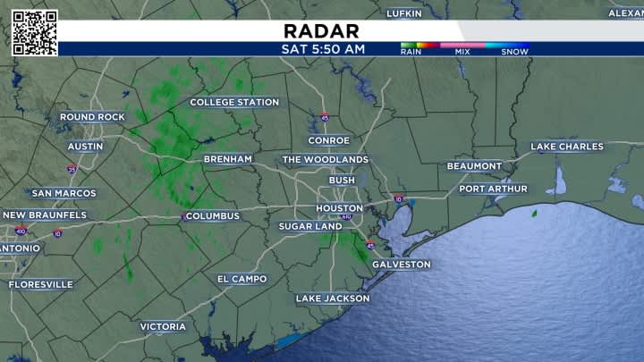
For the first time this summer, we’re under a typical weather pattern for this time of year. High pressure to the east of us is steering tropical moisture into southeast Texas. It’s rained in Houston 8 of 11 days with more storms in the forecast.
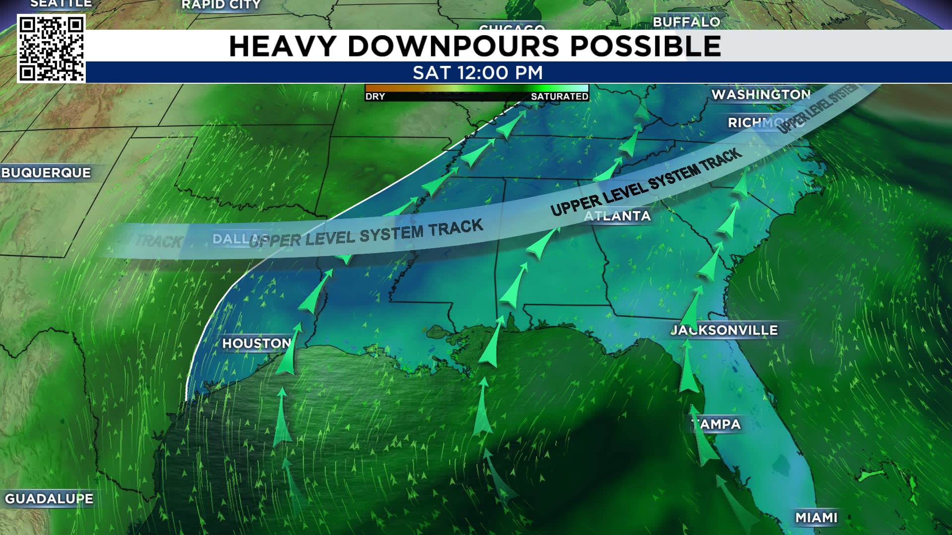 Flow from the Gulf brings the moisture needed to create thunderstorms (Copyright 2026 by KPRC Click2Houston – All rights reserved.)
Tracking the tropics:
The Atlantic is quiet with no tropical development expected in the next seven days. The peak of the hurricane season was September 10th.
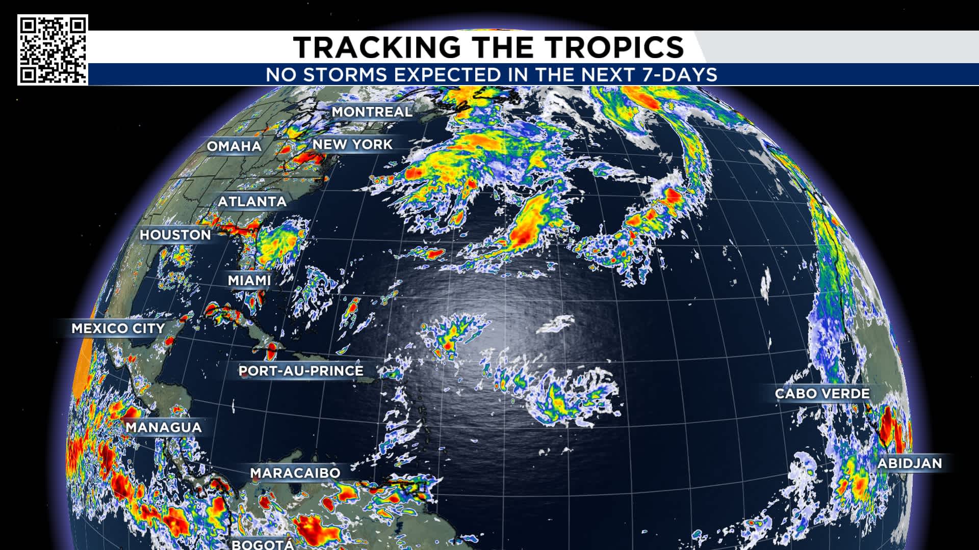 No storms are expected in the next 7-days (Copyright 2026 by KPRC Click2Houston – All rights reserved.)
So far this hurricane season, we have not had a hurricane form in the Atlantic basin. The latest first hurricane to form was Gustav and Humberto, which formed on September 11th. This means our 2026 hurricane season will set a record for the latest hurricane to form.
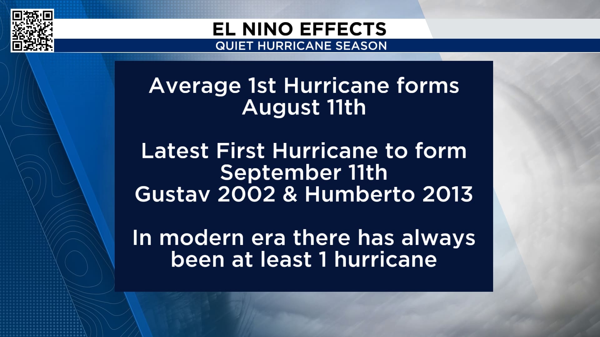 We are on pace for latest first hurricane to form (Copyright 2026 by KPRC Click2Houston – All rights reserved.)Extended forecast:
There is a chance of thunderstorms every day. Temperatures are near average for this time of year, and do you see the end of the 10-day? There is a chance we get our first cold front of the season Sunday the 20th. I’ll keep you posted if this really moves through Houston.
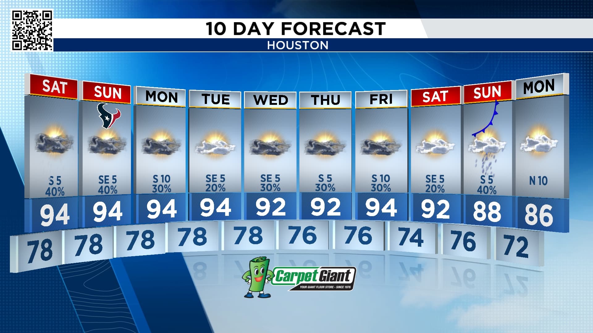 What to expect through Monday September 21st (Copyright 2026 by KPRC Click2Houston – All rights reserved.)Anthony’s Weather Lab

More Stories Like This In Our Email Newsletter
Copyright 2026 by KPRC Click2Houston – All rights reserved.