
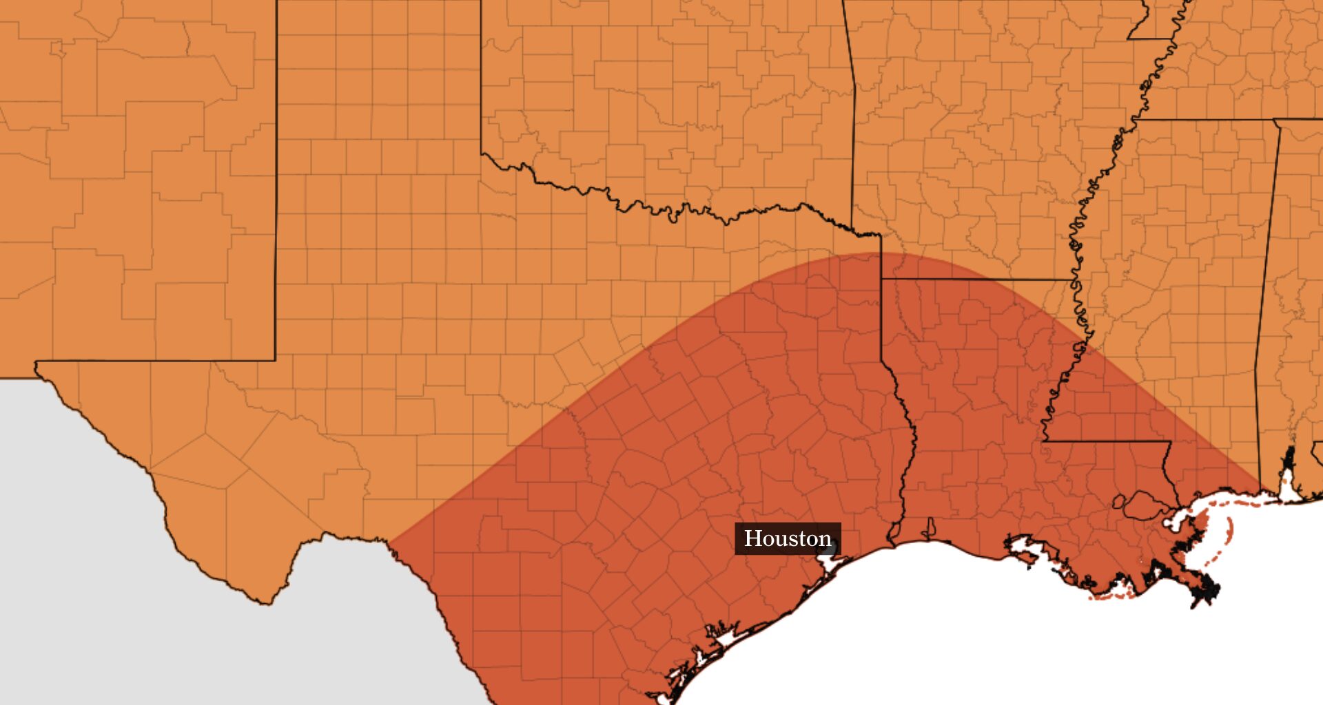
Houston’s heat streak is not over yet. Highs will remain in the 90s this week, but a wetter pattern and slightly lower temperatures could finally be waiting later this month.
A few changes in moisture could make some days wetter than others, especially near and south of Interstate 10. Forecast models are also beginning to hint at slightly lower temperatures late next week, although any meaningful pattern change remains uncertain.
Monday will feel nearly identical to recent days, with highs reaching the middle and upper 90s and heat index values climbing to around 105 to 110 degrees in parts of the Houston area.
Daily heat advisories are possible this week, so take breaks from the heat, drink plenty of water and be especially careful during the afternoon.
Higher moisture moving inland could trigger widely scattered showers and thunderstorms as the day progresses. Rain may arrive earlier near and south of Houston, which could keep temperatures and heat index values a little lower there.
The overall forecast will stay warm and unsettled through the middle of the week. Most days will feature highs in the 90s, lows in the 70s and at least a chance for afternoon showers or thunderstorms, especially across southern parts of the region.
Rain coverage will depend largely on how much moisture moves into the area. A surge of moisture could reach the western Gulf Coast Wednesday night and Thursday, potentially bringing more widespread downpours to Houston.
That wetter scenario is not certain, however. Some of the moisture may remain south of the Houston area, which would leave much of the region with more isolated storms and plenty of dry hours.
Forecast models are beginning to show temperatures easing toward the lower 90s around Sept. 22-25. Overnight lows could also fall into the mid-70s, which would make the pattern feel a little less like the middle of summer.
That would not mark the arrival of fall, but it could offer a brief break from the heat. Some models also show rain chances increasing as the pattern changes, although the wetter outcome remains less certain than the temperature trend.
It should be noted that forecast models often struggle this time of year to determine how far south a cold front will travel. A front that appears more than a week away can remain just as distant a day later, so this potential pattern change will need to be watched closely.