
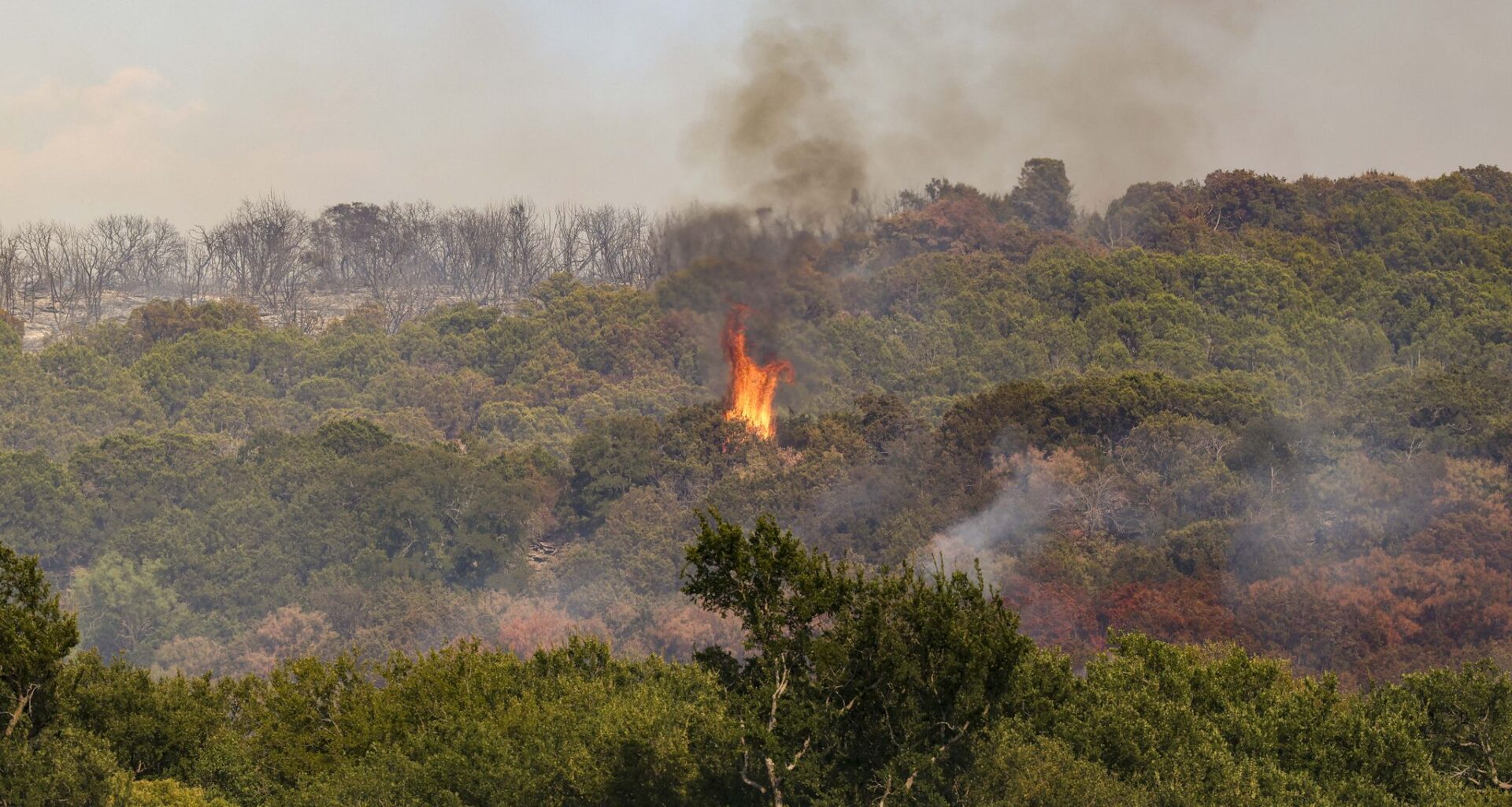
North Texas is set to swelter Saturday during another hot and windy day, with low humidity and dry conditions raising the threat of wildfires.
Temperatures are forecast to be in the high 70s early Saturday morning before 8 a.m. North Texans may feel a slight breeze Saturday, with wind gusts reaching 16 mph, according to the weather service.
The main weather concern Saturday will be the elevated fire risk, as low humidity, dry vegetation and breezy winds could contribute to starting a fire. Dallas-Fort Worth is forecast to face a high or very high fire danger Saturday, according to the Texas Weather Connection and Texas A&M Forest Service.
North Texas may see a weak cold front later this weekend, potentially bringing rain to some parts of Dallas-Fort Worth. However, precipitation amounts are unlikely to make a “dent” in the region’s drought, the weather service said in its Friday afternoon forecast.
Temperatures may drop below 100 degrees next week, with highs forecast to stay under 95 degrees through Thursday. Astronomical fall begins Tuesday, but temperatures are still expected to generally remain above normal for this time of year, according to the weather service.
SATURDAY: Sun, clouds and hot. Record: 102 (1956). High: 99. Wind: S 10-15 mph.
SUNDAY: Plenty of sunshine. Low chance of rain Sunday night. Record: 102 (1953). Low: 77. High: 99. Wind: S 10-15 mph.
MONDAY: Partly sunny with a 20% chance of a stray storm. Record: 99 (2005). Low: 77. High: 97. Wind: E 5-10 mph.
TUESDAY (FALL BEGINS): Sun and clouds, warm. Low: 75. High: 94. Wind: E 5-10 mph.
WEDNESDAY: Partly sunny and warm. Low: 74. High: 96. Wind: E 5-10 mph.
THURSDAY: Mixture of sun and clouds, warm. Low: 75. High: 95. Wind: E 5-10 mph.