
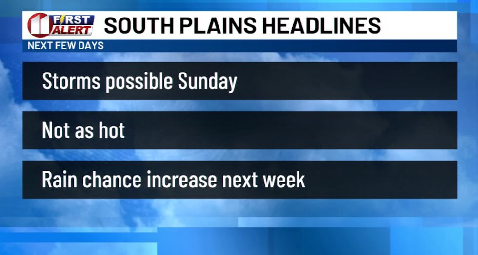
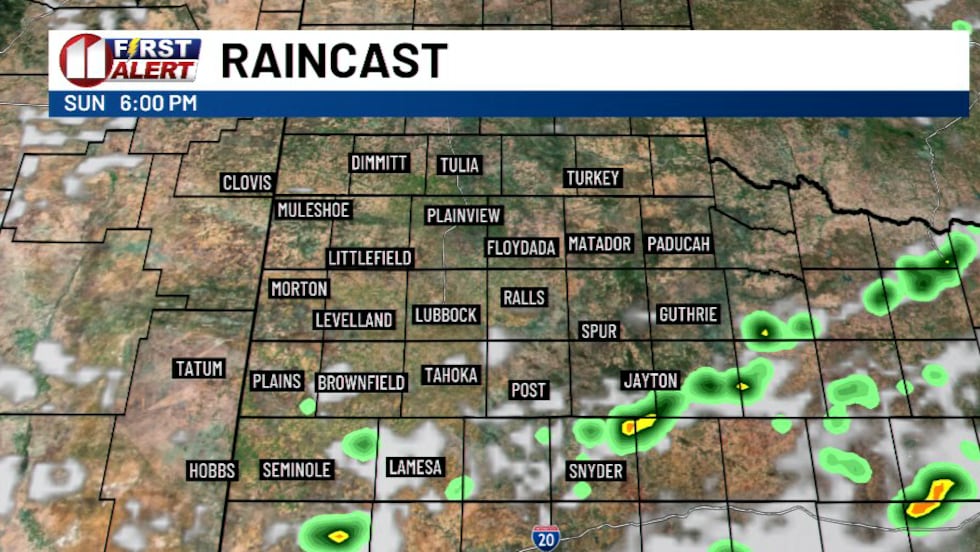
LUBBOCK, Texas (KCBD) – Showers and a few severe storms on the South Plains today. The possibilities will return on Sunday with hot temperatures and more storm chances.
Several strong to severe storms impacted a few communities in the area with high winds and some hail. In addition, a few of the storms produced heavy rainfall with a flood warning for parts of Cochran County late afternoon.
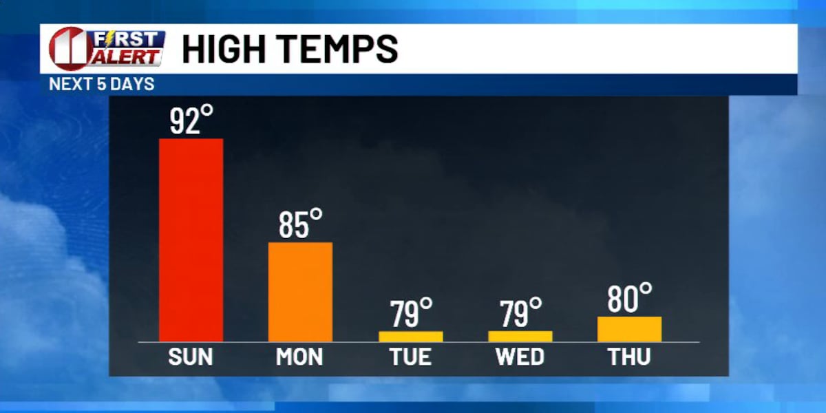
The heat and chance of storms will return tomorrow with highs in the low to mid-90s and a chance of scattered showers and storms over the region. There will be a possibility of some storms producing winds of 60 mph or higher and one-inch-sized hail.
Looking ahead to next week, temperatures will drop to seasonable levels, even lower a few days as rain chances continue in the forecast most of the week.
We could see some 70s for afternoon highs by the middle of next week.
 Storm threats linger Sunday ahead of a mid-week South Plains cooldown(KCBD Staff)
 Storm threats linger Sunday ahead of a mid-week South Plains cooldown(KCBD Staff)
Copyright 2026 KCBD. All rights reserved.