
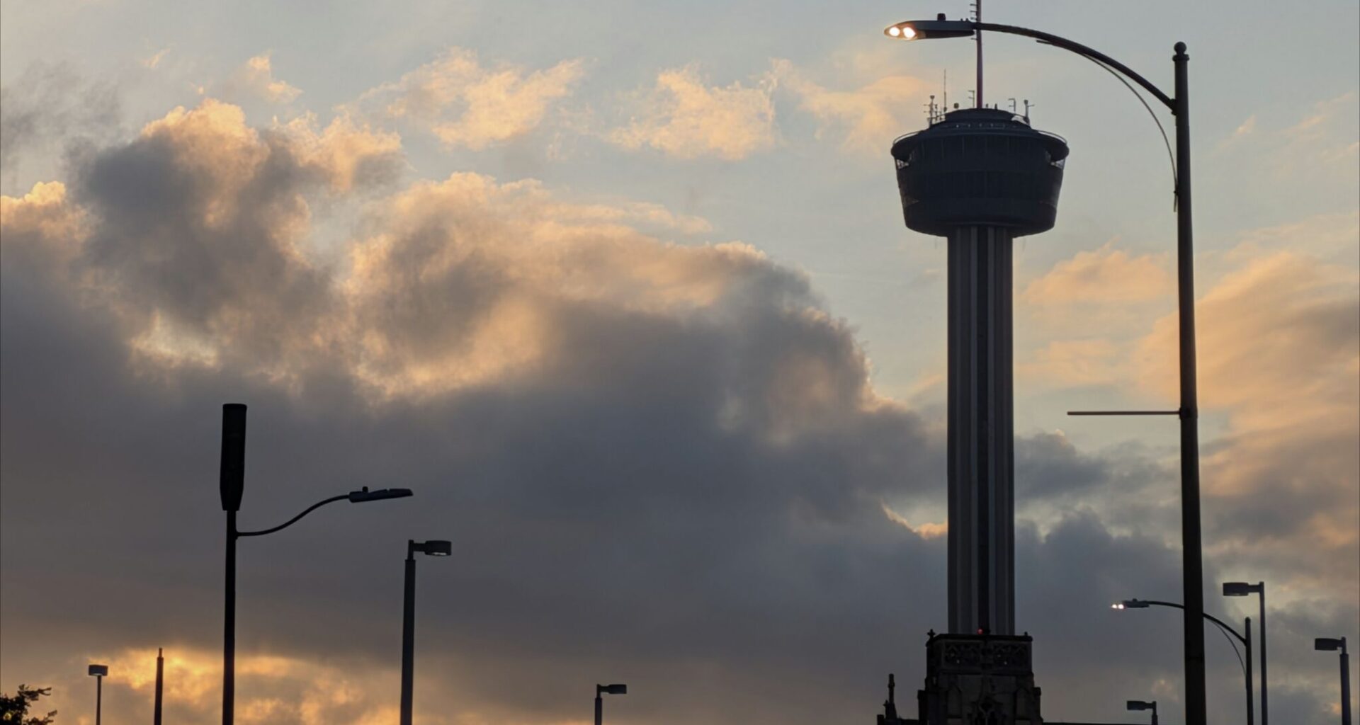
The sun rises over downtown San Antonio on Tuesday.
San Antonio Express-News/Anthony Franze
September rainfall has been hard to come by across much of Texas. In San Antonio, only 0.29 inch of rain has fallen this month, accounting for only 7% of September’s typical rainfall. If no more rain is recorded through Sept. 30, this month would rank as San Antonio’s second-driest September in the past 75 years.

It’s been a similar story across other major Texas metros. Both Austin and Houston have recorded less than an inch of rain this month, but the driest spot has been the Dallas-Fort Worth area, which has seen just 0.01 inch of rain.
Article continues below this ad
However, areas in South-Central Texas have encountered some scattered storms over the past few days, particularly in the Hill Country. And by Tuesday evening, another round of scattered showers and storms will become possible. Here’s what you can expect.
Tuesday evening rain
For most of the day, dry weather is expected across South Texas to go along with partly to mostly sunny skies. Temperatures in San Antonio are likely to reach 96 degrees, which is 7 degrees above average for the first day of fall. Humid air will persist as well, leading to heat index values of up to 102 degrees.
Article continues below this ad
A few showers and weak storms are expected to first develop by 3 p.m. to 4 p.m., but they’ll be extremely isolated. Coverage will increase slightly during the evening, allowing more areas to pick up rainfall.
Shown is the future weather radar for 8 p.m. Tuesday, as a few scattered showers and storms are expected to develop near San Antonio
Pivotal Weather
San Antonio’s best chance for rain is expected between 6 p.m and 10 p.m. Yet, overall rain chances are expected to be only near 20%, meaning that the majority of South-Central Texas is still likely to stay dry.
The storms that do form could become temporarily strong, capable of brief downpours, frequent lightning, and gusty winds up to 45 mph. Storms are likely to stay below severe weather thresholds, though, so large hail and damaging winds are not anticipated.
Article continues below this ad
Elsewhere across Texas: About a 20% chance of rain is also expected across Central and North Texas, including the Hill Country, Austin, Waco and the DFW metroplex.
Areas in West Texas will have higher chances of rain. In Midland, Odessa and Lubbock, overall rain chances will be at 30% to 40% through Tuesday evening. Farther west in El Paso, rain chances sit at 80% with a flood watch also in place.
The Climate Prediction Center’s outlook shows that above-average rainfall is favored across Texas during the week of Sept. 29 to Oct. 5.
Climate Prediction Center
Any more rain this week?
The San Antonio area will have one more chance of scattered rain on Wednesday, mainly between 4 and 8 p.m. Once again, overall rain chances will be slim at only 10% to 20%, leaving much of the region dry.
Article continues below this ad
High atmospheric pressure is likely to strengthen during the second half of the week, leading to dry weather across the region on Thursday and Friday. However, a weak upper-level atmospheric disturbance over the weekend could bring isolated rainfall back into the forecast by Saturday night or Sunday.
More significant rain chances are possible by the last few days of September and into the first week of October. According to the Climate Prediction Center’s outlook, San Antonio has about a 75% to 80% chance of near-average to above-average rainfall during the week of Sept. 29 to Oct. 5.