
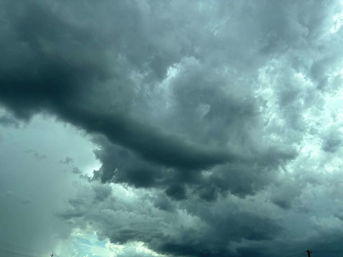
A major weather shift is on track to hit North Texas next week, potentially bringing much-needed rain and cooler temperatures to the region, according to the National Weather Service in Fort Worth.
An active pattern is expected to increase the chances of showers and thunderstorms across North and Central Texas, with rain chances ranging from 20% to 60% from Sunday through midweek.
The weather agency said it is still monitoring the timing of the storms and that the pattern’s development could raise flooding concerns by the end of next week. A slower-moving upper-low pattern, which tends to stall over regions, has historically triggered serious rain and flooding events, according to The Weather Channel.
Temperatures are also expected to dip later in the week. Before Wednesday, October 7, the region’s highs could be between 92 and 97 degrees, and lows between 69 and 74 degrees. Moving forward, temperatures could drop noticeably, with highs between 80 and 83 degrees and lows in the 63-70 degree range.
The forecast rainfall and temperature shift come at the tail end of an “incredibly long” dry streak in North Texas.
This past summer was among the hottest and driest on record for Dallas-Fort Worth, according to the NWS. The area recorded 67 days with no measurable precipitation and 52 days with high temperatures at or above 100 degrees. The agency said summer heat will persist through this weekend.
Details about the incoming thunderstorms will become clearer as the weekend progresses.
This article originally published at Texas may finally get a break from this relentless heat, but there’s a catch.