
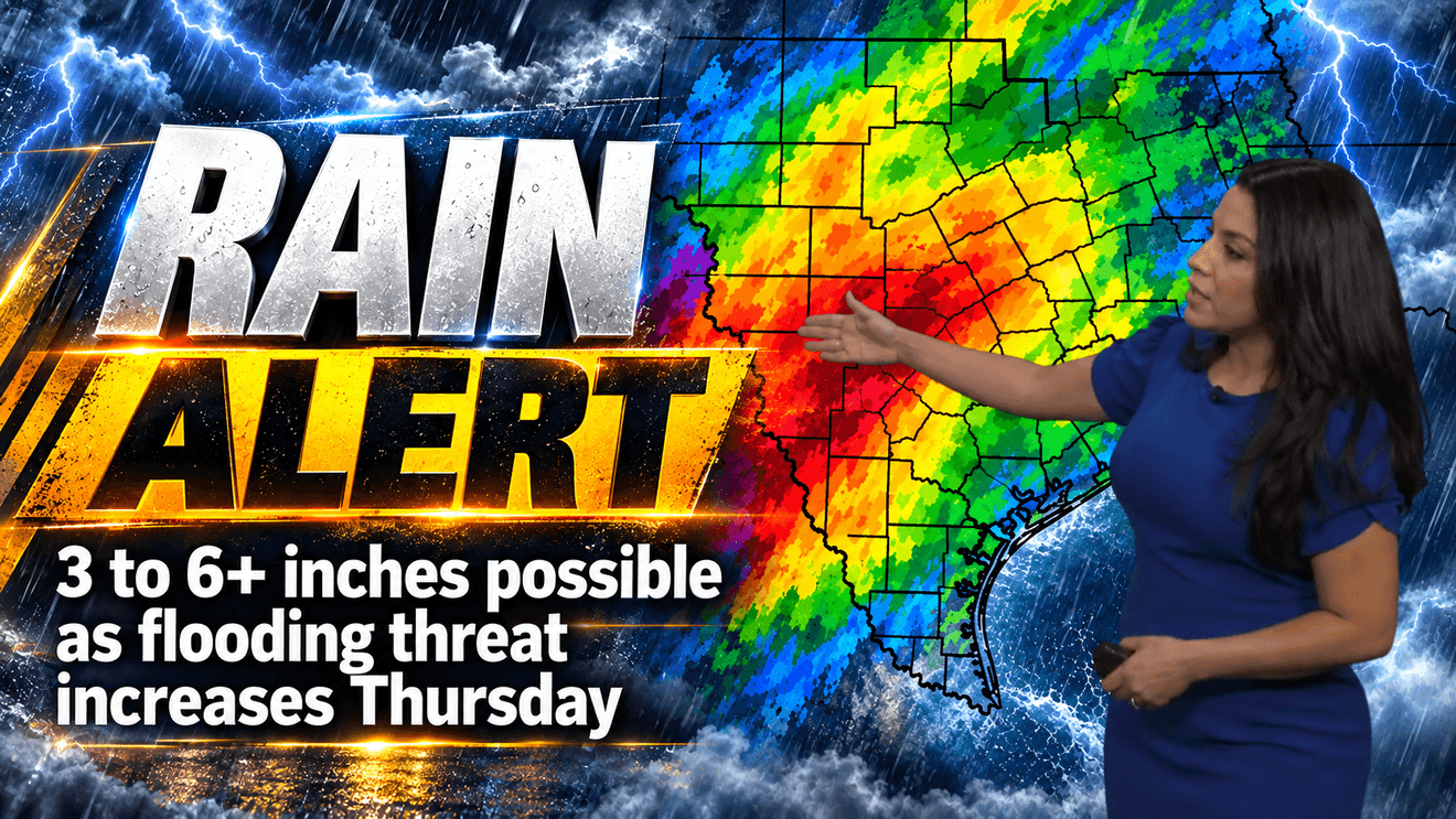
SAN ANTONIO — A major change in the weather is headed toward South Central Texas, bringing the potential for several inches of rain and an increased risk of flash flooding later this week.
Thursday and Friday are Weather Alert Days as a slow-moving cold front approaches the region.
The first part of the week will remain mostly hot and dry, with afternoon temperatures climbing into the mid-to-upper 90s. Rain chances begin to increase Wednesday before jumping to 80% Thursday and 60% Friday.
The biggest concern will be the potential for heavy rainfall.
The Weather Prediction Center has placed Bexar County and much of the Hill Country under a Level 3 out of 4 risk for excessive rainfall, with a Level 2 risk covering the rest of the area.
CLICK HERE for our interactive radar
Forecast rainfall totals could reach 3 to 6 inches or more in some locations over the next seven days.
The cold front is expected to arrive late Wednesday into Thursday but may have difficulty moving through the region. If the front stalls Thursday into Friday, it could interact with abundant Gulf moisture and produce repeated rounds of showers and thunderstorms.
That combination could increase the threat of flash flooding, especially in areas that receive multiple rounds of heavy rain.
There is a slight 20% chance of rain Tuesday night, followed by the possibility of isolated showers and storms Wednesday. The more widespread rain is expected Thursday and Friday, with some showers potentially lingering into the weekend.
The front will also finally bring some relief from the heat.
Highs are expected to remain in the mid-90s Monday through Wednesday before falling to around 84 degrees Thursday and 82 Friday. Overnight temperatures could drop into the 60s this weekend, with afternoon highs staying in the low 80s.
Residents should stay weather aware beginning late Wednesday and continuing through Friday as the flooding threat develops.
CLICK HERE to send us your weather photos or video.