
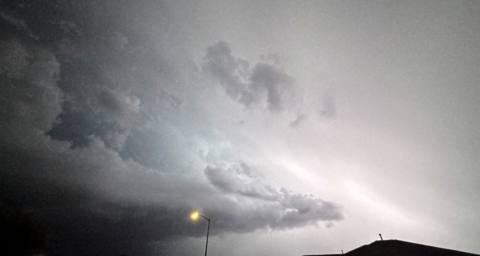
All eyes are on the forecast for the San Antonio area and in Central Texas. Texas meteorologists say widespread rainfall expected to hit the state later this week is now prompting flash flood concerns around the Alamo City as a slow moving cold front continues to move into the area.
The incoming storms could even bring up to a half a foot or more in rainfall totals.
“Weather Insomniacs activate…” News 4 San Antonio chief meteorologist Chris Suchan said in a social media post he shared at 1:30 a.m. on Monday, September 28. “Looks like a solid 2″ – 6″+ rainfall in our viewing area.”
Cities like San Antonio, New Braunfels, Boerne and Kerrville will see a slight chance of heavy rain, leading to the possibility of flash flooding, starting on Wednesday, according to the National Weather Service Austin/San Antonio.
The Fredericksburg area could also see an elevated moderate risk of excessive rainfall that day. By Thursday, a larger swath of San Antonio and western portions of the Hill Country will be under a moderate chance for heavy rains and flood potentials.
“The flooding threat continues to go up for South Texas the second half of this week,” KENS5 meteorologist Jeremy Baker said in a Facebook post, telling viewers to stay weather aware all week long. “Over 5” possible area wide starting Wednesday,” he continued.
Rain maps show a majority of the state is in store for rain in the coming days. The NWS says there is low confidence on the placement, movement and timing of the storms, but there is a chance that storms with locally heavy showers could produce more than two inches of rain per hour.
Suchan said online that, according to current models, the incoming front’s “sluggish pattern” could also extend rain chances into the weekend.