
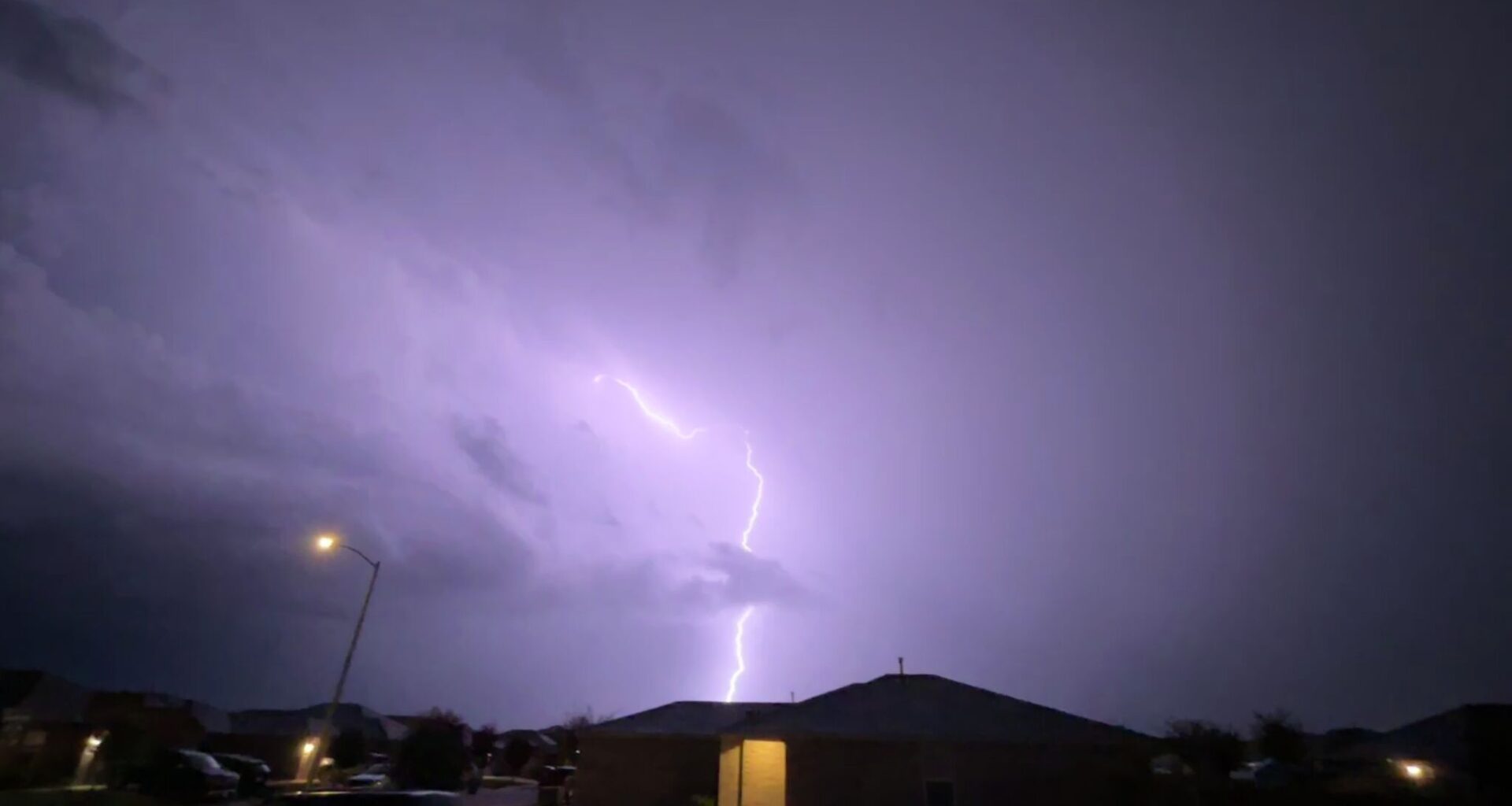
By Tuesday, September 29, a low-pressure system is slated to move south over the Lone Star State, bringing in a cold front and remnants from Hurricane Polo (slated to hit the Yucatán Peninsula Monday evening). While temperatures will finally dip to a bearable measurement, this also spells severe weather threats for most major Texas cities.
“The highest flash flood risk is in urban areas, locations that had significant rainfall last week, and other locations that received prolonged or repeated rounds of heavy precipitation within a short time.”
In the latest, forecasters predict that Panhandle towns could see between 1 and 3 inches of rain per hour between 7 a.m. Tuesday and 7 a.m. Wednesday morning. But gloomy days are expected to last through Thursday afternoon.
On the bright side, 80-degree afternoons will be replaced with cooler temps in the low- to mid-70s across the Texas Panhandle. Evenings might even warrant a sweater or jacket, dipping into the low 50s midweek and low 40s by the end of the week as a second cold front comes sweeping in.
With the high-pressure system that created a heat dome over most of Texas the past few weeks finally retreating to the east early this week, this burst of cold air and cloudy skies is expected to reach much further south. North Texas, namely the Dallas-Fort Worth metroplex, and greater San Antonio-Austin areas will feel cooler and wet over the coming days.
“Confidence is increasing that favorable moisture will combine with an upper-level system to produce widespread rainfall and localized flash flooding across North and Central Texas on Wednesday and Thursday,” the National Weather Service Dallas-Fort Worth office warns, noting odds of heavy rainfall or flooding are greatest Wednesday and Thursday.
By Thursday, the NWS San Antonio-Austin office puts the area at a Level 3 of 4 risk for heavy rainfall which could cause flash flooding. But it’s coupled with a welcome cooldown after a summer that just hasn’t quit.
Highs will slowly dip from the upper-90s on Monday to the low-80’s by the end of the workweek as the cold front sweeps in.
“Chances for widespread rainfall which could lead to flash flooding increase mid to late week, particularly during the Wednesday night to Friday morning timeframe, as a slow moving cold front moves across the area,” the National Weather Service Austin-San Antonio office reports. “Continue to monitor the forecast this week and make sure you have multiple ways to receive warning information.”