
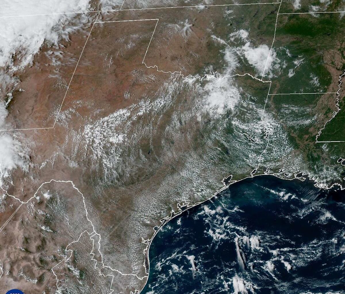
Houston has one more mostly dry day Tuesday before rain chances climb across Southeast Texas.
A few afternoon showers or thunderstorms are possible Tuesday, but most communities should stay dry. Rain becomes more common Wednesday and could continue through the weekend. The exact location of the heaviest rainfall remains uncertain.
Tuesday forecast stays hot with isolated storm chances
Tuesday will be hot by late-September standards. Highs in the lower to mid-90s could approach the 96-degree daily record set in 2011 at Bush Intercontinental Airport.
Rain chances will be around 20% during the afternoon and slightly higher near the coast, but most neighborhoods should stay dry.
Humid air will continue spreading north from the Gulf of Mexico, helping to set the stage for more widespread rain later in the week.
Houston rain chances increase Wednesday
Showers and thunderstorms are expected to become more frequent Wednesday, especially during the afternoon.
Rain will be hit-or-miss across Southeast Texas. Some neighborhoods could get an inch or more in a short period, while others stay dry. Sea breezes and boundaries left behind by storms developing over Central Texas could help spark even more showers and storms, making the timing and location of individual downpours difficult to pin down.
HANNA FORMS: Tropical Storm Hanna forms in the mid-Atlantic. Where is it going and what happens next?
Farther north and west, downpours could bring a heightened flood risk along the Interstate 35 corridor, from San Antonio and Austin toward the Dallas-Fort Worth area. If you’re traveling to those areas, allow extra time on the roads and check with your airline for possible delays.
Houston’s flood threat could increase Thursday
The flood threat could increase Thursday, when periods of heavy rainfall are expected to become more likely across Southeast Texas and may continue into Friday.
This is not expected to be the kind of prolonged soaking that can occur when a tropical storm or hurricane stalls over one area. Instead, showers and thunderstorms should ebb and flow, becoming more numerous with daytime heating rather than staying fixed in one place. Unlike typical summer storms, which often fade after sunset, widely scattered downpours could linger overnight as deep moisture remains in place.

This map shows forecast high temperatures across the Houston area on Tuesday. (Pivotal Weather)
Several rounds of rainfall could move through Thursday and Friday, with the highest totals currently favored west of Interstate 45. If storms repeatedly affect the same communities, water could quickly collect on roads and in low-lying areas, creating a risk of localized flooding.
HOUSTON WEATHER [SIMPLIFIED]: Sign up for texts to get forecasts and extreme weather alerts on your phone.
A weak cold front could move through late Friday or Saturday, gradually lowering rain chances. It is not expected to bring significantly cooler weather, and showers or thunderstorms could linger into the weekend.
Keep checking the forecast through the week for updates on rainfall timing, totals and which communities face the greatest flood threat.
Subscribe
There’s more to Houston with the Chronicle. Subscribe today for just 25¢.
This article originally published at Houston has one more mostly dry day. When do rain chances climb?.