
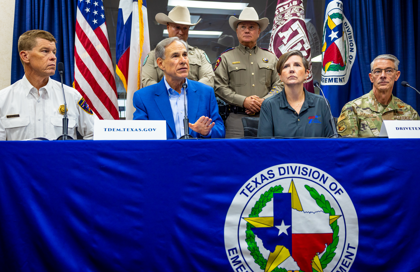
Texas Gov. Greg Abbott has directed the Texas Division of Emergency Management to activate additional resources as heavy rainfall and potential flooding could impact a large part of the state in coming days.
Tropical moisture from Hurricane Polo on the Pacific Coast combined with an approaching low-pressure system will bring widespread chances for heavy rainfall and thunderstorms for most of the state by midweek.
“I have activated additional state emergency response resources ahead of heavy rainfall and flash flooding,” Abbott said in a Monday weather briefing. “State resources are available to support local officials. Texans should monitor local forecasts, avoid flooded roadways, and heed guidance from state and local officials. Remember: Turn Around, Don’t Drown.”
The elevated response time began at 7 a.m. Tuesday and lasts through the weekend.
“The primary hazards associated with these storms are excessive rainfall and flash flooding,” according to the briefing. “Texans are urged never to drive or walk through flooded roadways, as floodwaters may be deeper and move more rapidly than they appear.”
More than 1,900 state responders and over 1,500 pieces of equipment have been made available to support local severe weather and flood-response operations across the state.
Those on call include personnel with the Texas A&M Task Force 1, Texas Division of Emergency Management, Texas Department of Transportation, Texas Parks and Wildlife Department, Texas Department of Public Safety, Texas Department of State Health Services and Public Utility Commission of Texas.
“Several rounds of rainfall could move through Thursday and Friday, with the highest totals currently favored west of Interstate 45,” he said. “If storms repeatedly affect the same communities, water could quickly collect on roads and in low-lying areas, creating a risk of localized flooding.”
He said the rain is not expected to be the kind of prolonged soaking that can occur when a tropical storm or hurricane stalls over one area but more an ebb and flow of thunderstorms.
The I-35 corridor from San Antonio to Austin to Dallas could see a heightened flood risk from the storms.
Additionally during this time, East Texas faces an increased wildfire danger, and South Texas will experience extreme heat conditions, according to the governor’s briefing.