
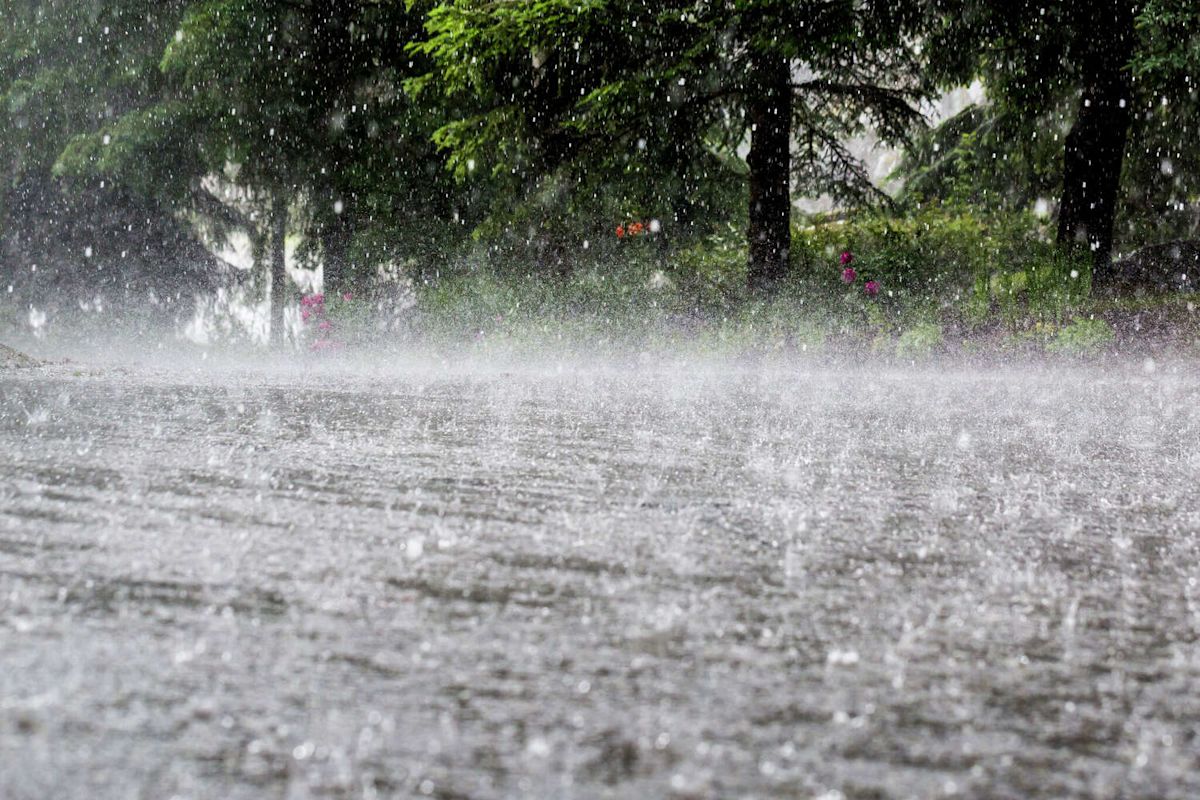
While Texas’ east coast has remained largely dry amid a quiet hurricane season, another round of heavy rain is about to sweep across West and Central Texas.
Stretches of West and Central Texas could see “torrential rain” beginning Wednesday and continuing into Thursday morning, according to The Eyewall’s Matt Lanza. Up to 10 inches of rain could fall in parts of Southwest Texas between San Antonio and Del Rio, raising the threat of serious flash flooding.
The flood threat will spread east and north as the storm system moves across the state. Areas north and west of Fort Worth could see flooding Wednesday, while substantial rain could reach Waco and Austin from Thursday night into Friday.
The National Weather Service has placed much of South Central Texas under a Flood Watch from Wednesday evening through Friday evening, warning that heavy rain could produce life-threatening flash flooding in parts of the region.

Excessive Rainfall Outlook from the National Weather Service. (NWS )
The heaviest rainfall is expected to focus on parts of Central and Southwest Texas, with Austin, San Antonio and Waco among the communities facing an elevated flood threat. Houston and Victoria face a lower risk, although heavy rain could still affect parts of Southeast Texas.
The latest threat comes just days after the remnants of Hurricane Polo brought significant rain to parts of the Southwest. West Texas saw rain around Lubbock, Odessa and El Paso, while nearly 5 inches fell in parts of New Mexico and Arizona. Polo caused its most significant impacts in Mexico’s Baja California Sur over the weekend before weakening as it moved northwest toward New Mexico, Arizona and West Texas.
Now, the remnants of Polo are helping fuel another wet setup as they interact with a slow-moving system and moisture across Texas. The Eyewall said Wednesday that widespread flash flooding already occurring in the Southwest was expected to expand into West and Central Texas through Thursday and Friday.
Texas was largely spared from Hurricane Polo’s path, continuing a trend in the Lone Star State this summer and early fall. Just two named storms-Tropical Storm Arthur in June and Tropical Storm Bertha-hit Texas as significant weather events in 2026, and no named hurricane has made direct landfall in Texas this fall.
More News
Politics | Houston judge candidate says opponent bailed on scheduled debate
Coins | Texas lottery winner strikes it rich and reveals first big purchase
Nerds | PAX Unplugged gaming convention coming to Houston
Safety | Texas A&M e-scooters and e-bikes could be banned after crashes rise
For the latest and best from Chron, sign up for our daily newsletter here.
This article originally published at Up to 10 inches of rain to slam Texas as ‘torrential’ storms spark flood alerts.