
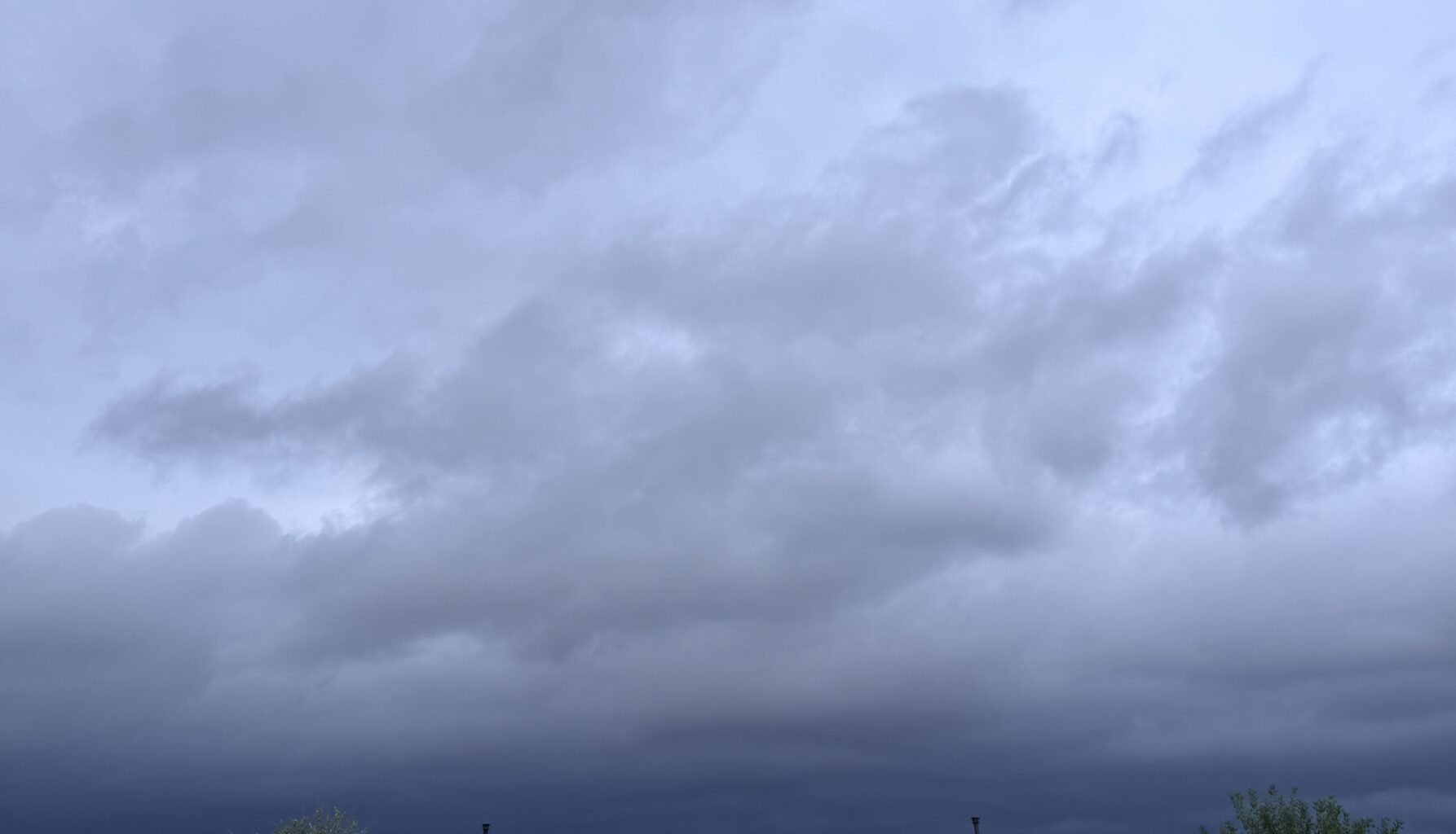
According to NWS forecasters, timing for likelihood of storms in San Antonio started around 9 a.m. with the greatest chance for storms to start developing around 11 a.m. on Thursday.
“Arrival in central areas, including Austin and San Antonio, begins as early as 9 a.m., with the most likely timing from 11 a.m. into tonight. Eastern areas see storms arriving starting around 1 p.m., with main impacts from 3 p.m. into tonight. Storm redevelopment may persist across central and eastern zones into Friday morning,” NWS said.
Forecasters say most areas could see 1 to 4 inches of rain, with isolated totals reaching 8 inches.
“Projected rainfall through Friday ranges from 1 to 4 inches across most of South Central Texas, with 4 to 6 inches across the Hill Country and Winter Garden regions (including Kerrville and Uvalde) and isolated pockets of 6 to 8 inches. Flood safety precautions: Never drive through flooded roads—turn around, don’t drown. Stay clear of low-lying areas, creeks, and streams. Exercise extra caution at night when flood hazards are harder to see,” NWS said.