
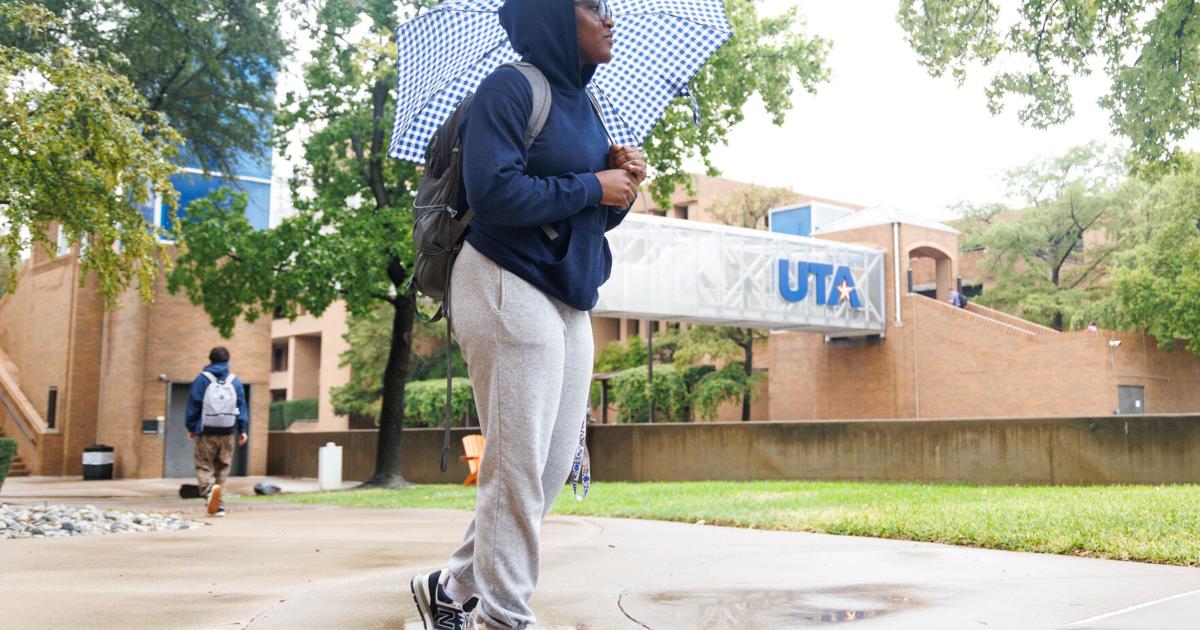

Construction management sophomore Jacqueline Oba walks across campus in the rain Oct. 1. Oba said she had to do parkour over puddles to get to class.
In the past 24 hours, the Dallas-Fort Worth area has experienced around 2 to 4.5 inches of rainwater.
Heavy rainfall can create flash flooding and foster unsafe conditions for drivers and pedestrians navigating campus and surrounding areas.
Daniel Fenske, National Weather Service meteorologist, said the area saw some of the heaviest rainfall Thursday morning, but the redevelopment of showers and storms is expected later in the afternoon and throughout the rest of the week.
“It looks like another 1 to 2 inches are possible,” Fenske said.
He said some people underestimate how quickly road conditions can deteriorate when it’s raining. The weather service advises people not to drive through floodwaters and to ensure distance is kept between cars while on the highway.
The rain is projected to be more intense overnight, which could produce some thunder, but Fenske said not much lightning is predicted.
Flash floods are considered sudden increases in the depth and speed of water in rivers, streams or washes due to heavy rain. Six inches of water can knock a person off their feet and cause loss of vehicle control; 12 to 24 inches of water can pick up a vehicle and carry it off, according to the National Park Service.
Flash flooding can be caused by a variety of factors, but the most common is heavy rainfall.
The intensity, location and distribution of the rainfall; land use and topography; vegetation types, growth and density; soil type; and soil water content determine how fast flash flooding may happen and influence where it may occur, according to the National Weather Service.
Due to the dry conditions of the soil in the area, water has a harder time seeping in, exacerbating the threat of flooding. Fenske said areas in Tarrant County, including underpasses in Fort Worth, a portion of I-30 and some residential areas, were closed due to the flooding.
He said the rain it is bringing in a cold front.
Friday and Saturday will see highs in the mid to upper 70s, with Monday approaching the 80s. Temperatures are expected to nudge back into the mid-80s in the middle of next week but will still be cooler than what the area has experienced in the past months, Fenske said.
“Should be a nice introduction to fall,” he said.
@tay._.sansom