
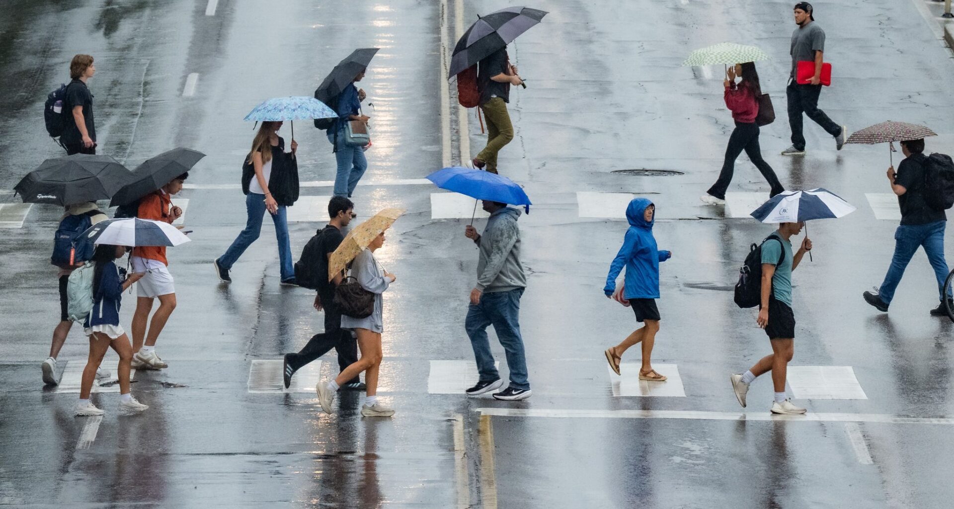
Mother Nature turned on her faucets across Central Texas over the past 24 hours as a Pacific cold front pushed into the region and stalled, bringing rounds of moderate to heavy rainfall.
While we saw some very heavy rainfall on Thursday with the passage of the front, the threat isn’t over just yet. More showers and thunderstorms are expected Friday, but any significant rain on already saturated ground could quickly lead to flooding across parts of the Austin metro area.
A flood watch remains in effect for the Austin metro area through at least Friday evening, the National Weather Service said, with widespread cumulative rainfall totals since Thursday of an inch to 4 inches and isolated amounts of 6 to 8 inches possible.
We’ll wake up to more rain and thunderstorms Friday morning as another round of rain development occurs along the stalled frontal boundary. Some roads may be waterlogged, so be prepared to find alternate routes across some Austin streets, if necessary. Check out atxfloods.com for information on any road closures across the region.
Temperatures will be cooler than in the past few mornings, with predawn temperatures sinking into the lower to mid-70s. Winds will be out of the north at 5 to 10 mph.
We’ll continue to see scattered showers and thunderstorms through lunchtime, which could affect some outdoor events, including the first batch of shows at the Austin City Music Festival, which starts Friday in Zilker Park. While severe weather is not expected, even a few lightning strikes could force some outdoor events to be delayed or canceled.
The storm chance at this time will be around 80%, with pockets of moderate to heavy rain possible. Temperatures will remain steady in the mid-to- upper 70s through the early afternoon.
Rain and storm chances will continue but begin to taper off by 5 p.m. with more isolated storm activity lingering into the evening.
Temperatures will remain cooler than normal with afternoons staying in the upper 70s and lower 80s, which would be a few degrees shy of our early-October climate-average high of 87 degrees.
The upper-level atmospheric disturbance will remain in place across the Lone Star State, keeping rain and thunderstorms in the forecast off and on throughout the weekend. However, the intensity of the storms should be lower than what we experienced Thursday and Friday.
Rain chances will drop to around 40% to 50% both Saturday and Sunday. Temperatures will be comfortable, with mornings in the upper 60s to near 70 degrees and afternoons in the lower 80s.
This will be the coolest weather we’ve felt since mid-July, during our last major rain event. Peak daytime temperatures will remain in the lower 80s through the weekend.
So, will Austin finally get a taste of those classic fall football temperatures? The weather service’s Climate Prediction Center suggests temperatures could remain near normal for this time of year through Oct. 10. That would certainly be a welcome change as we settle deeper into fall.