
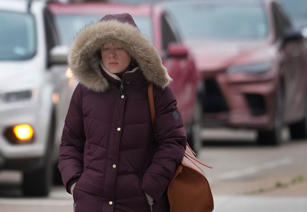
A cold front is expected to push through Southeast Texas late Monday night into Tuesday morning, according to the National Weather Service in Houston. Forecasters are not promising a major cooldown, but they do expect a noticeable drop after a wet weekend.
“We’ll get the tail-end of this front, so it won’t be a substantial cooldown by any means…but it will be a noticeable one,” the weather service wrote in its Saturday forecast discussion.
The main payoff comes overnight. Low temperatures for most of the work week after Monday are expected to range from the low 60s to the low 70s, according to the weather service. For the city of Houston, forecasters said the latest odds for low temperatures below 70 degrees now peak around 70 to 75 percent.
“Those are pretty good odds!” the weather service wrote.
Do not pull out the hoodie just yet. High temperatures are still expected to stay in the 80s through next week, but drier air behind the front should bring a break from rain for most of the work week.
Before that, Houston has to get through a soggy weekend. The weather service expects periods of showers and thunderstorms through Sunday, with locally heavy rain possible and the best chances along the coast. Coastal areas could see 1 to 3 inches of rain from Saturday through early next week, while areas farther inland will likely stay under an inch, though isolated higher amounts are possible. The heaviest totals are expected 10 to 20 miles offshore, but forecasters said a small northward shift could push more rain inland.
The Weather Prediction Center has kept Southeast Texas under a marginal risk, level 1 of 4, for excessive rainfall Saturday and Sunday, with the main flooding risk along the coast.
Monday is expected to be the transition day, with coastal rain chances continuing before the front moves through overnight into Tuesday. After that, Houston gets its first real taste of fall-ish mornings—even if the afternoons still remember this is Texas.