
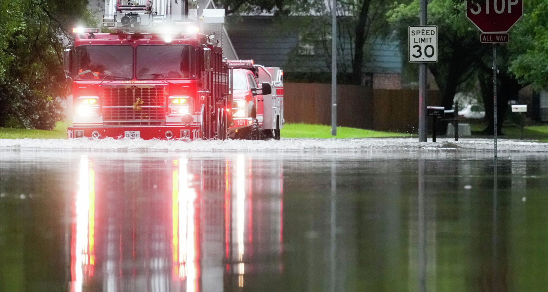
Since the calendar flipped to October, a very active weather pattern has been present through the South Central U.S., resulting in widespread rainfall and cooler temperatures across a drought-stricken Texas. In Houston, 1.31 inches of rain has fallen over the past three days – more rain than the city received during all of September.
But now, yet another shift in the weather pattern is about to occur. While a few scattered showers remain possible on Sunday, significantly drier air will push into the region by the start of the work week, ending rain chances while also bringing cooler temperatures. Here’s how the week will play out.
Rather comfortable conditions are expected across Southeast Texas to start Sunday, as temperatures will hover in the mid-70s through 9 a.m., under mostly cloudy skies. Winds will come in from the north at around 10 mph.
A few isolated showers or weak storms are possible through the morning, but coverage will be spotty, leaving only a 20% to 30% chance of additional rainfall in the metro area. Higher rain chances (40% to 50%) are expected along the coast, from Lake Jackson to Galveston.
Temperatures will only rise slowly throughout the day, with highs reaching between 82 and 84 degrees across much of Southeast Texas. A spotty shower can’t be ruled out during the afternoon, either, but rain chances will stay at 20% or less. Additional rainfall, if any, is likely to be less than a quarter-inch.
Noticeably drier air is expected to swing into the Houston area on Monday, leading to an increase in sunshine by the late morning and the afternoon. Temperatures will rise a couple of degrees, with highs expected to top out near 85 degrees.
By Monday night, the drier air will allow temperatures to cool off nicely across the region. In Houston, temperatures will dip into the upper 70s shortly after sunset before reaching overnight low temps near 71 degrees.
Just outside of the city, overnight low temperatures are expected to drop into the upper 60s. This includes parts of cities such as Katy, Conroe, and The Woodlands. Farther north, lows are expected between 62 and 65 degrees in areas like Huntsville, Crockett and Columbus.
Similar conditions are expected across the region on Tuesday and Wednesday. Houston high temperatures will warm slightly into the mid- to upper 80s, but overnight lows will cool comfortably into the low 70s. Areas outside of Houston will continue to drop into the 60s each night.
Forecast models are now showing with more confidence that a weak upper-level low pressure system is likely to interact with Gulf moisture by the end of the week. This will help pull higher atmospheric moisture levels back into the area and increase rain chances.
The Houston area is likely to see slight rain chances by Thursday evening, with more widespread rain becoming possible by Friday and Saturday. There is still quite a bit of uncertainty in regards to how much rain will develop, so be sure to stay tuned to houstonchronicle.com/weather for daily updates.