
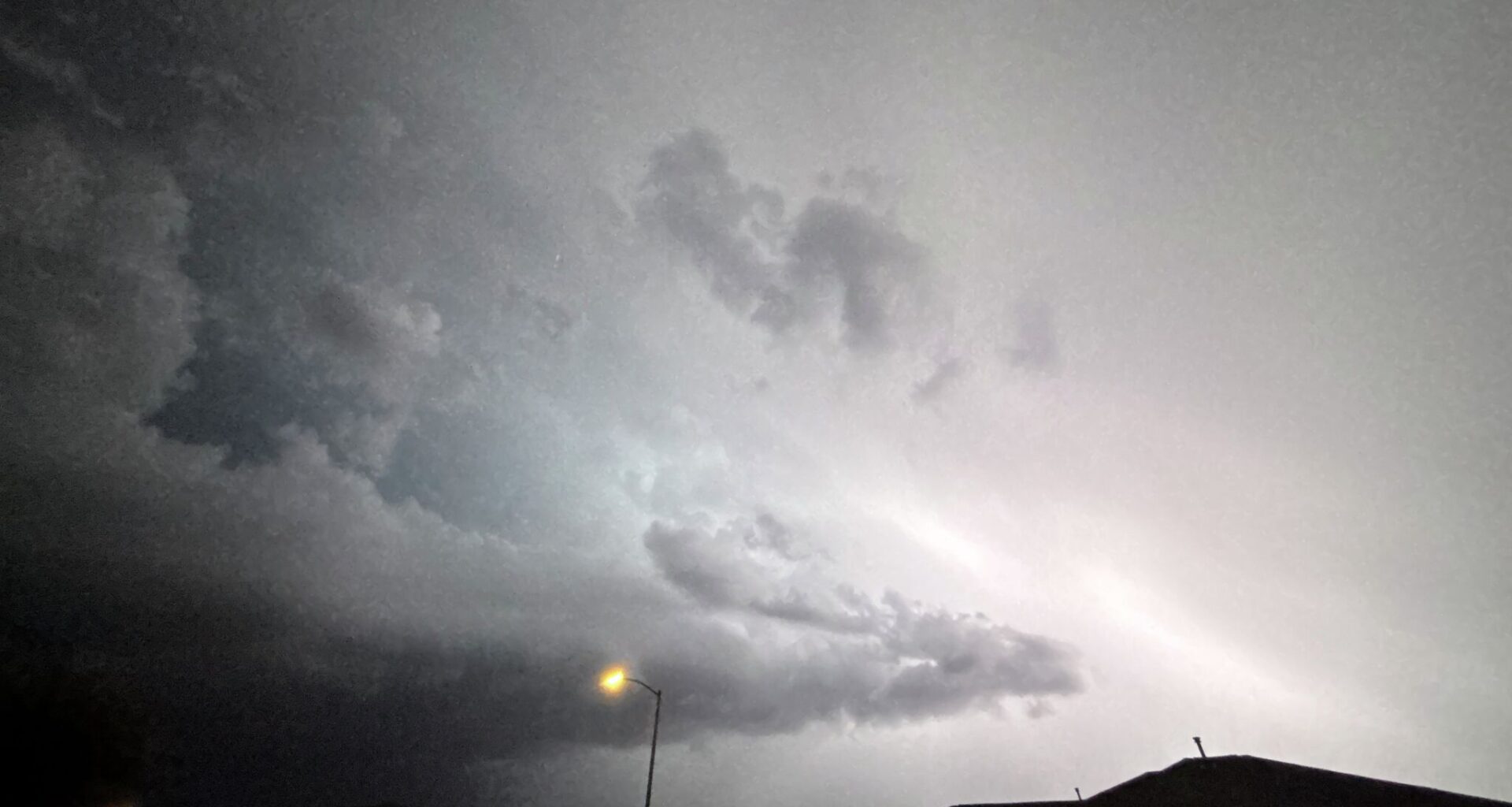
San Antonio, if you thought this weekend felt great outside, you might enjoy what you’re about to hear from the National Weather Service.
As north winds started “to gradually bring drier air into our area,” on Sunday, October 4, which caused some sprinkles overnight in South Central Texas, skies are starting to clear up over San Antonio that will impact temperatures in the region. “The upcoming week brings warmer days and cooler nights,” the NWS said. “Low rain chances return Thursday into Saturday.”
Just before sunrise on Monday, October 5, a cool breeze of 6-12 mile per hour winds will blow through. With it, temperatures will begin to drop. Expected highs for Monday look to hover near the 90s but and will likely drop down to to low 70s that night. However, beginning Tuesday, October 6, those same highs will be met with drastic drops for lows in certain areas, as places like Fredricksburg, Llano and more could see temperatures in the 50s. The lower temperatures appear to last at least two days before rising again a slight bit Thursday, October 8, about the same time rain chances return in the forecast.
Thursday looks to be the day areas in and around Austin to San Antonio could expect thunderstorms and possibly more, with chances rising up to 30% and even increasing to nearly 40% on Friday, October 9 before dropping off heading into the weekend. It still is too early to be sure, but back-to-back weekends of cooler temperatures are still within reach. So, if you’ve got the wardrobe to support warmer days and cooler nights, it’s time to prepare it. Also best to keep the umbrella in the trunk. You may need it.