
Houston’s hottest weather of the week arrives Wednesday, with afternoon temperatures forecast to come within a few degrees of a 70-year-old record.
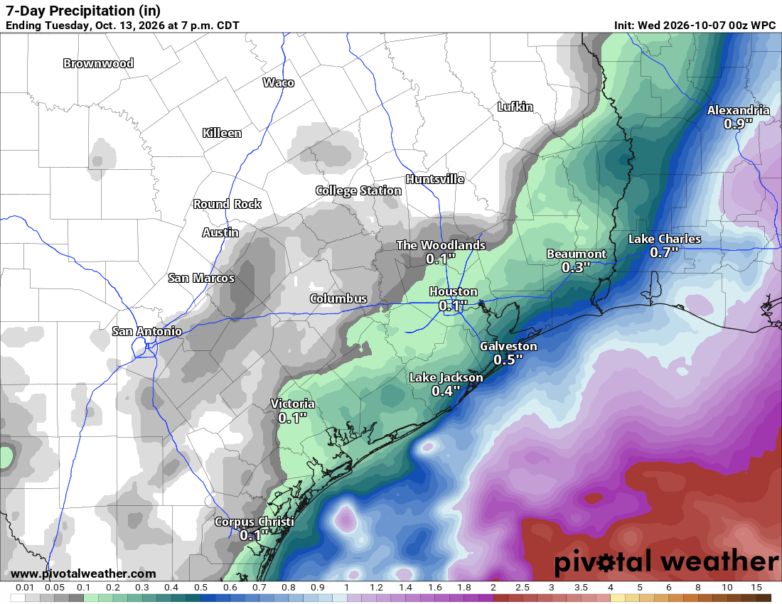
The high atmospheric pressure behind Wednesday’s heat will gradually give way, but Houston won’t see a major temperature drop. Afternoon temperatures stay in the upper 80s through the weekend, while rain chances remain low inland and increase slightly near the coast as tropical moisture returns.
Wednesday will be one of the warmest days this week, with sunshine and a high in the low 90s. That would come within a few degrees of Houston’s daily record high of 95 degrees for Oct. 7, set in 1956.
The relatively dry air mass over Southeast Texas isn’t just giving us pleasant mornings, though. It can also help temperatures climb efficiently during the day. With less water vapor available to evaporate, more of the sun’s energy goes toward warming the ground and the air above it.
The heat eases slightly Thursday, but it will still feel warm for early October. Highs will reach the upper 80s, with overnight lows in the low to mid-70s. A few showers could develop near the coast, but rain chances remain low farther inland.
A system that’s likely to become Tropical Storm Isaias could pull deeper tropical moisture toward the upper Texas coast Friday, bringing a few coastal showers back into the forecast.
Most inland communities, including Houston, should stay dry, though an isolated shower or thunderstorm is possible. The risk for scattered tropical downpours will continue through Saturday, with the best chance near the coast. Weekend highs will range from the upper 80s to low 90s, above normal for early October, as humidity increases.
The tropical system is expected to turn toward the northern Gulf Coast, and significant hazards are not currently expected in Southeast Texas. Even so, winds and rough seas could increase along the upper Texas coast, depending on the system’s track.
Sunday should bring a brief break from the coastal showers as the tropical system moves away, with highs in the upper 80s. That quieter stretch may not last long, though. Warmer, more humid air and renewed rain chances could return early next week.