
“Chamber of commerce” weather is sticking around across Central Texas, with sunny, warm and dry conditions expected Thursday through the weekend. It’s the kind of Austin weather that city tourism officials love to see when visitors come through.
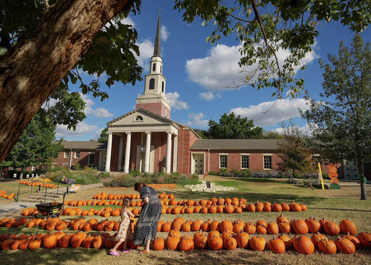
The timing couldn’t be better for the second weekend of the Austin City Limits Music Festival, along with the many fall festivals, pumpkin patches and outdoor events happening across the region.
Thursday will be a be a tad warmer than it was during previous mornings, with lows in the middle to upper 60s under a partly cloudy sky.
By noon, some clouds will increase a bit as the winds turn more easterly, helping to bring in a little more moisture from the Gulf of Mexico. Temperatures will reach the lower 80s with winds out of the northeast between 3 and 10 mph.

Texas temperatures will be slightly warmer than they’ve been in the past few days, with afternoon highs possibly reaching 90 degrees in Austin. (Pivotal)
Through the afternoon, a weak disturbance over West Texas will send some clouds and spotty rain chances into the Del Rio area and western parts of the Hill Country, although the past few forecast models runs hint at a drier trend, with only a 10% to 20% chance of rain. Temperatures will top out in the upper 80s to 90 degrees.
Weekend forecast
All eyes are on Gulf of Mexico as Tropical Storm Isaias strengthens into a hurricane on Thursday, and then heads away from Texas, towards the Alabama and Florida coastlines.
“Based on the robust strengthening forecast by the National Hurricane Center over the next couple days would have us watching a hurricane over the central Gulf heading northeast,” meteorologists at the National Weather Service wrote in their forecast discussion for Austin and San Antonio.
“The smallish system and the tracking direction away from Texas has the model data showing almost no wind impact for our forecast area,” forecasters said, adding that we could at most see surface winds become more northerly Friday afternoon.

Tropical Storm Isaias will likely become Hurricane Isaias at some point on Thursday as it moves to the northeast. (National Hurricane Center)
Friday temperatures will start in the upper 60s and make a 20-degree climb into the upper 80s, just slightly above our early October normals of 64 degrees and 84 degrees. Winds may be a little breezy with some gusts topping 20 mph.
Saturday will be dry and sunny with afternoon temperatures ranging from 84 to 88 degrees. Northeast winds will be light between 5 and 10 mph.
A weather pattern shift happens again on Sunday, with a slight increase in cloudiness and humidity, raising rain chances by early next week.
This article originally published at Austin weather: Will sunny, dry weather hold through the weekend in Central Texas?.