
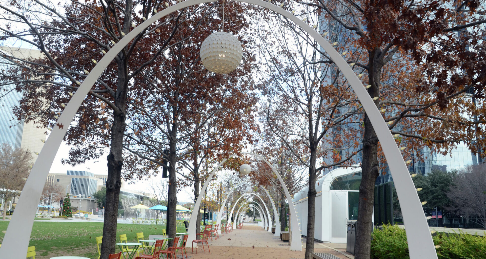
Colder weather is settling into parts of Texas, where overnight temperatures could dip into the 50s. A stronger cold front may arrive next weekend, bringing a more noticeable chill.
Moving into the weekend, residents of North Texas can expect warm afternoons under mostly sunny skies, followed by cooler nights, according to the National Weather Service (NWS) Dallas-Fort Worth office. Highs will reach the mid- to upper 80s, while overnight lows generally fall into the 60s. Some rural, low-lying areas, however, could see temperatures dip into the upper 50s.
“Here in North and Central Texas, warm and dry early-fall weather will continue into the weekend as we watch Hurricane Isaias make landfall near the Mobile, AL-Pensacola, FL area Friday night,” Dallas forecasters wrote in their outlook.
By Tuesday or Wednesday, rain chances will return to the area, mainly west of I-35, lasting through Thursday. Then, a strong cold front is expected to sweep in next Friday or Saturday, bringing cooler temperatures and a chance of more widespread rain.
“With this frontal passage still more than a week from occurring, the spread in temperatures offered up by this current suite of guidance
varies over a wide range of values,” Dallas forecasters wrote, adding that afternoon highs could dip below 70 degrees on Saturday, with lows potentially falling into the 50s region-wide.
There’s a 40 to 50 percent chance temperatures dip into the 40s in rural counties along the Red River and west of I-35, with potential dropping to 20 percent in the DFW metro and in Central Texas counties.
“All of this to say, it looks cooler next weekend than it is now, so stay tuned for forecast updates!” Dallas forecasters wrote in conclusion.