
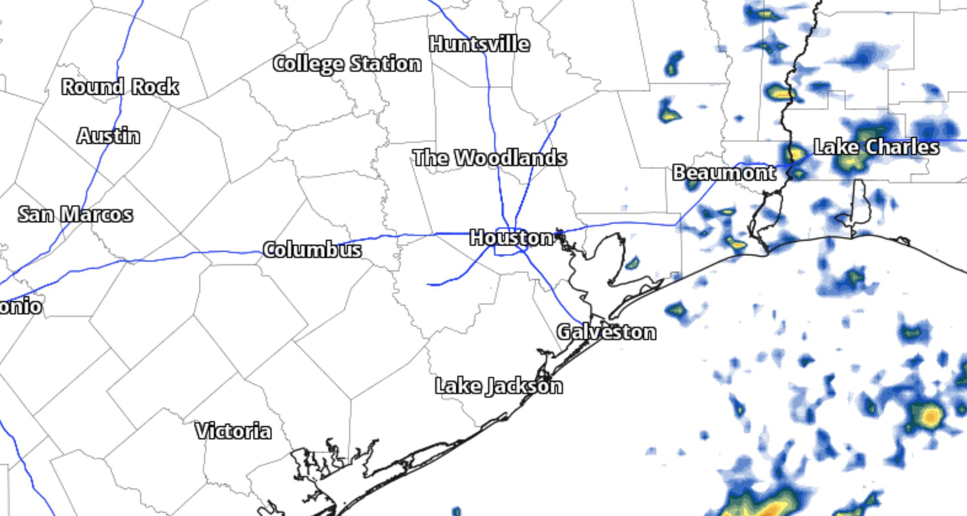
The storm was expected to remain well east of Texas, but it could still affect coastal waters and beaches late this week. The latest drought data also show that, despite recent rainfall, drought persists across much of the Houston area.
Although the possibility of a few passing showers Friday is slim, it is possible that a few quick downpours could reach areas along and south of Interstate 10 Friday afternoon. Chances for a passing shower or storm are only between 10% and 20% along the immediate coast, and that possibility may be too high, depending on how far west Isaias is able to send tropical moisture.
Under mostly sunny skies, we’ll end the work week in the upper 80s to lower 90s across Southeast Texas. Friday’s forecast will essentially be repeated daily through the weekend, with sunny skies and highs around 90 degrees.
Isaias won’t pose a direct threat to Texas, but its effects could still create coastal hazards late this week.
A small craft advisory is in effect through early Saturday, with northeast winds of 15 to 25 mph and gusts of up to 30 mph expected. Waves could reach 4 to 6 feet closer to shore and 6 to 9 feet farther offshore, making seas hazardous for small boats.
In addition to rough seas, the risk of dangerous rip currents will remain high through late Friday night at Gulf-facing beaches, including Galveston Island, the Bolivar Peninsula, Brazoria County beaches and the Matagorda Peninsula.
While the figures showed moderate drought across most of Southeast Texas, the area in moderate drought fell from about 80% to 65%, while the area in severe drought (mostly west of the Brazos Valley) dropped from about 20% to 10%. Nearly every corner of Southeast Texas is at least abnormally dry, a designation sometimes referred to as “pre-drought.”
With rain chances limited through much of the weekend, any drought relief will be gradual.