
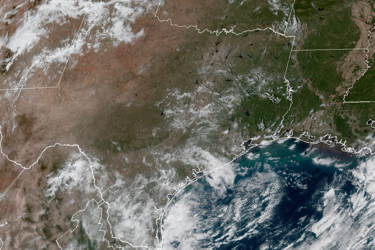
While we shouldn’t count on any rain chances in the next seven days, here’s what else forecasters are looking at this week:
San Antonio on Tuesday is shaping up to be full of sunshine, with light easterly winds of around 5 mph. Daytime temperatures will likely peak at 84 degrees, which is just a tad warmer than normal for Oct. 20 in the Alamo City. Skies remain clear on Tuesday night, when temperatures are expected to stay above 61 degrees overnight and into early Wednesday.
“Tuesday night we continue our warming pattern as broad ridging over South-Central Texas becomes more amplified heading into the late-week period,” forecasters said.
“Each day, we will continue to warm until we eventually jump back above normal for highs by Wednesday and continuing into the weekend,” the weather service said. “This means we should see highs in the low to mid-80s before highs ramp up into the upper 80s to low 90s by the end of the
week.”
In San Antonio, Wednesday should be sunny, with east winds continuing to blow gently at 5 mph. Afternoon temperatures, though, will inch higher than the previous day, hitting 85 degrees. At night, under mostly clear skies, overnight temperatures should bottom out around 62 degrees before dawn Thursday.
“Additionally, we will see the return of more humid conditions for the upcoming weekend with dew points back into the 50s and 60s compared to the dry 30s and 40s currently in place,” the weather service said. Dew point temperatures, a good indicator of how saturated air is with water vapor, rise with the humidity. Air becomes uncomfortably muggy when dew points climb above 65 degrees.
While San Antonio on Thursday is expected to be sunny with temperatures topping out around 87 degrees, more humidity is likely in South Texas, thanks to east-southeast winds delivering moisture-rich air from the Gulf of Mexico.
Friday also should be sunny, with San Antonio temperatures again reaching 87 degrees, which would be several degrees warmer than normal for this time of year. Winds will pick up out of the southeast, blowing in from the Gulf Coast at 5 to 10 mph. The influx of humid air will help keep overnight temperatures above 65 degrees.
Forecasters think a small rain chance could emerge for areas west of San Antonio with the arrival of low air pressure late in the week.
“But the elongated upper ridge (of high pressure) could limit impacts for most of our area associated with this feature,” the weather service said. “The exception being the Rio Grande and southern Edwards Plateau regions where just enough of a disturbance could clip these areas late in the weekend.”