
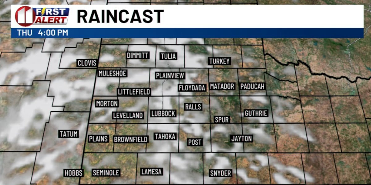
LUBBOCK, Texas (KCBD) – This is an unusual pattern for late October. We’re seeing an amplified upper-level pattern across the continental U.S. that’s driving these above-normal temperatures. West Texas has already felt the effects, with observed highs Wednesday ranging from the upper 70s to mid 80s — well above the mid-70s normal for this time of year.
 KCBD(KCBD)
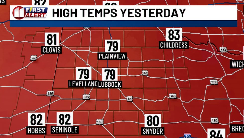
A slow-moving storm system will move onshore in Southern California today, bringing a surge of mid and upper level moisture overhead and increasing cloud cover throughout the region.
 KCBD(KCBD)
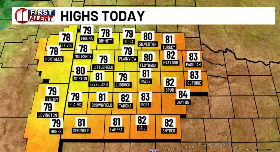
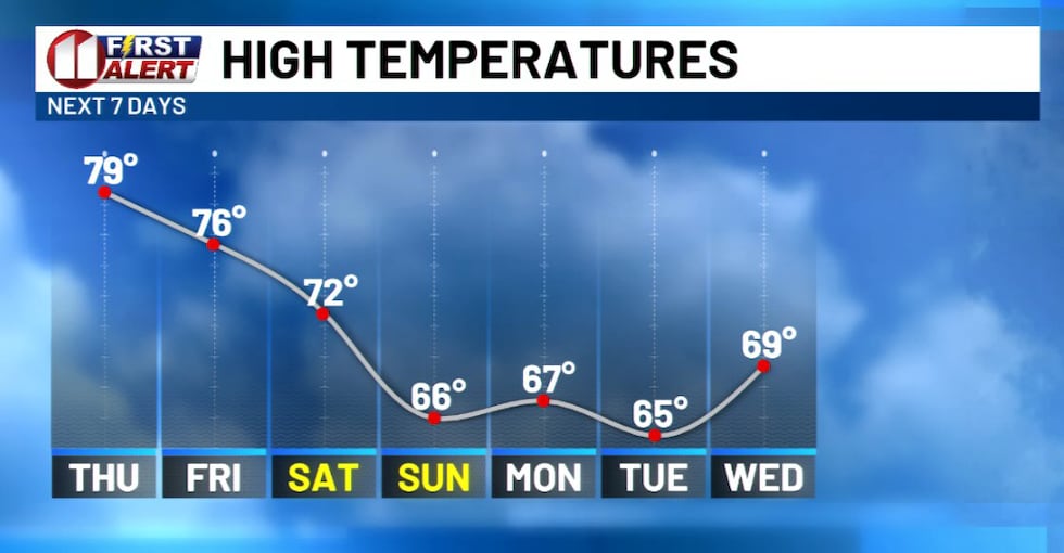
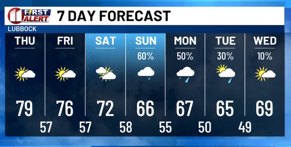
Despite the added clouds, temperatures will still climb to 5 to 10 degrees above average this afternoon. The warmth continues Thursday before a gradual cooldown settles in heading into the weekend.
 KCBD(KCBD)
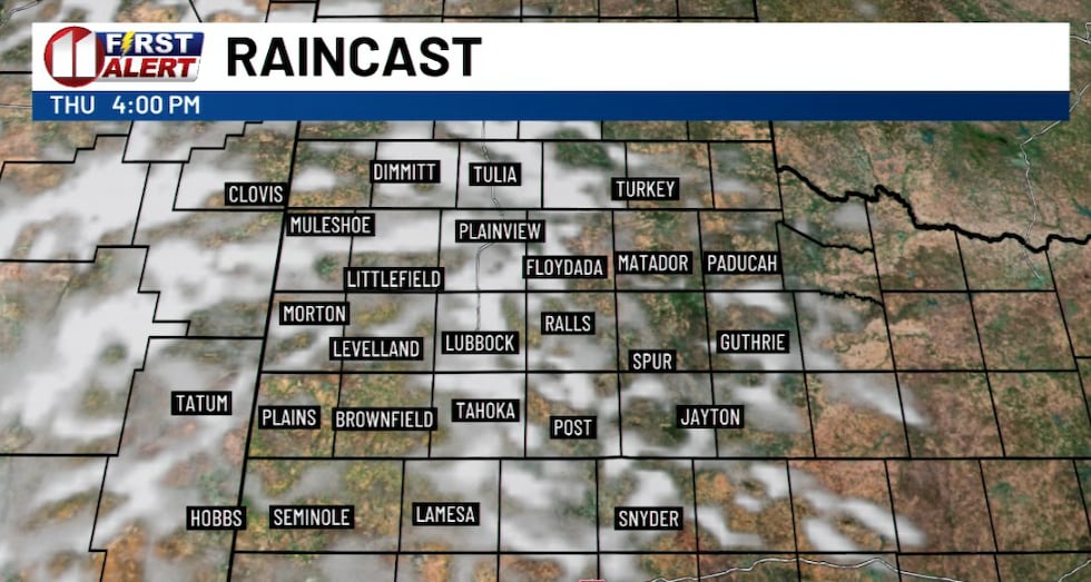
As upper-level lows gradually move eastward Thursday, expect increasing high cirrus cloud coverage that may slightly reduce the temperatures, beginning Friday, compared to earlier in the week.
 KCBD(KCBD)Rain and flooding concerns return
The pattern shifts significantly this weekend. Precipitation chances return Saturday through Tuesday, with locally heavy rainfall possible. Be sure to monitor forecasts closely as heavy rain could lead to flooding in susceptible areas.
 KCBD(KCBD)
Copyright 2026 KCBD. All rights reserved.