
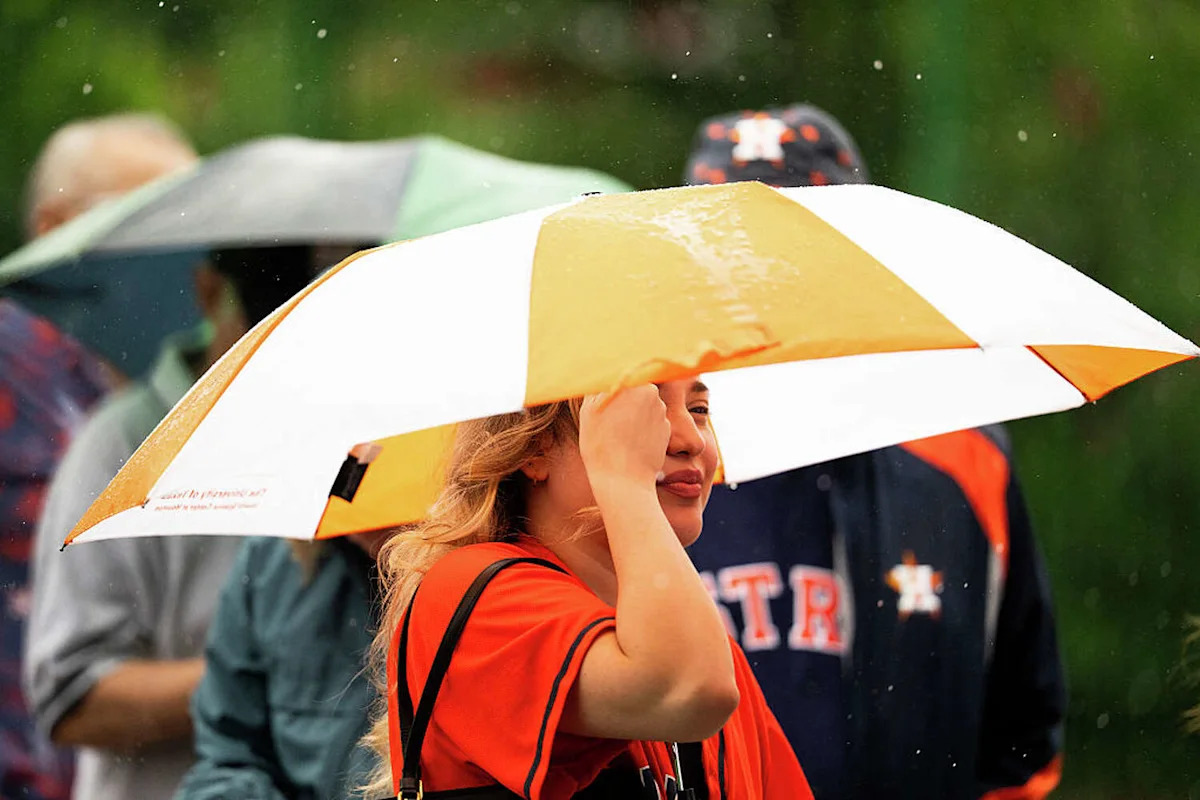
El Niño is already making its presence felt, and NOAA’s latest winter outlook suggests Houston could be in for a wetter-than-normal few months.
NOAA’s winter outlook, released Oct. 15, forecasts above-normal precipitation across much of the central and southern Plains from December through February-the part of the country that includes Texas.
The Climate Prediction Center gives an 80 percent chance of at least a strong El Niño continuing through January, February and March 2027, with the event expected to peak during the November-through-January period.
“As we know from decades of observations, a very strong El Niño will likely bring a southward and eastward shift to the jet stream for the contiguous U.S., which tilts the odds toward stormier weather across the South,” Ken Graham, director of NOAA’s National Weather Service, said.

The 2026-2027 U.S. Winter Outlook map for precipitation shows wetter-than-average conditions are most likely across the Southwest, South and East Coast. Drier-than-average conditions are forecast for parts of the northern Rockies and Great Lakes, and central Alaska. (NOAA)
For Houston, that could mean more opportunities for rain and storms during the winter months. Back in August, Texas A&M University atmospheric sciences professor John Nielsen-Gammon told Chron the odds of Texas having a wetter-than-normal cool season were about 90 percent from October through April, with a 10 to 15 percent chance of breaking its rainfall record.
But there’s a big caveat for anyone already preparing for a miserable winter: NOAA is not predicting that Houston will be unusually cold.
The agency’s latest temperature outlook gives the Southwest and parts of the southern Plains equal chances of above-, near- or below-normal seasonal temperatures. The stronger signal is precipitation.

The 2026-2027 U.S. Winter Outlook map for temperature shows the greatest chances for warmer-than-average conditions in the Pacific Northwest, northern Rockies, Midwest, Mississippi Valley, much of the East and Alaska. (NOAA)
And more rain doesn’t automatically mean more snow or ice in Houston. Seasonal outlooks aren’t precise enough to predict individual winter storms, and NOAA specifically notes that seasonal snowfall totals generally can’t be forecast more than about a week in advance.
There is, however, another potential consequence for Texas: drought.

A U.S. map with corresponding colors (green, dark green, tan, brown and yellow) to show areas where drought will improve or worsen this winter.The U.S. Drought Outlook map for October 15, 2026, through January 2027, predicts drought conditions to improve or end by the end of January for the Southwest, Southern Great Plains, Southeast and East Coast. Drought conditions are favored to develop or worsen across parts of the northern Rockies. (NOAA)
NOAA’s latest drought outlook forecasts drought conditions to improve or end across the Southern Great Plains by the end of January. More precipitation could help replenish dry soils and water supplies, although Graham warned that heavy rain falling on dry ground can also increase the risk of flash flooding.
“While higher chances of rain and snow may bring relief to drought-afflicted areas, too much precipitation on dry soil can fuel destructive flash floods and mudslides,” Graham said.
NOAA’s next three-month outlook is scheduled for Nov. 19.
More Weather
QTNA | What could Houston do better before a storm?
Heat | ‘Worst humidity ever’: Texans suffer through sticky heat blast
Storms | El Niño could become one of the strongest in decades, WMO says
Forecast | Tropical system looks like it’ll avoid most of Texas
For the latest and best from Chron, sign up for our daily newsletter here.
This article originally published at NOAA’s latest Houston winter forecast is here. What a super could El Niño bring..