
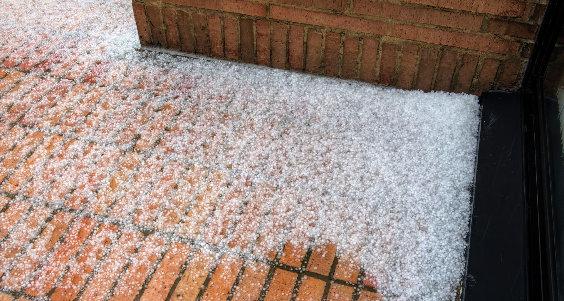
Forecasters with the National Weather Service (NWS) office in Midland/Odessa warn that initial isolated showers, dense morning fog, and small hail on Wednesday will give way to heavy rain by Thursday.
“Wednesday morning… patchy fog may develop… reducing visibilities to less than 1/4 mile. When visibilities get low, take it slow!” the NWS warned. “Gusty winds, small hail, and brief heavy rainfall will be the main threats with the strongest storms.”
By Thursday and Friday, remnants from Tropical Storm Vance will stall over West Texas.
“Numerous showers/storms are in store Thursday through Friday evening across the eastern half of the region,” the NWS reported, noting rainfall probabilities of 2 to 6 inches in isolated spots. “Multiple rounds of heavy rainfall will lead to flash flooding, especially across low-lying and urban areas.”
For Southeast Texas, NWS forecasters in Houston report that light showers will continue Wednesday, especially west of I-45, before a brief surge of dry air clears the skies on Thursday. However tropical moisture rapidly returns for the weekend.
“Scattered rain chances return Friday through the weekend as moisture levels increase and some upper-level disturbances pass through,” NWS Houston noted in its discussion.
For local families, the primary concern is trick-or-treating weather. Forecasters expect warm, humid conditions with scattered showers, though not a total washout.
“Things don’t look like a complete washout, but there will likely be decent amount of scattered activity around (esp Saturday)… The evening trick-or-treating forecast looks ok for most of the area at this point.”
Looking ahead, a stronger mid-to-upper-level trough moving in late Monday into early Tuesday could trigger strong storms across the Houston region, followed by a sharp cold front.