
LUBBOCK, Texas (KCBD) – The atmosphere has been quietly preparing for the next round of weather, and it should arrive fast on Sunday.
 System moving closer to Texas expected to bring rain(KCBD)
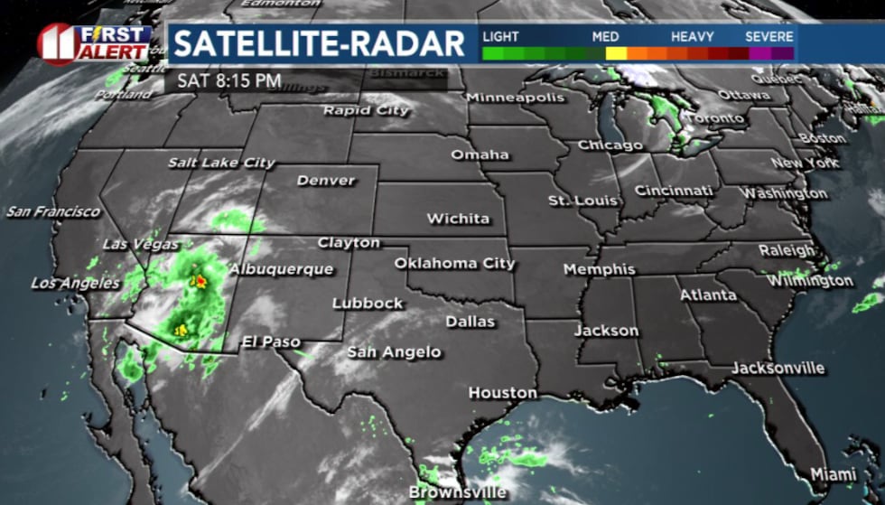
A large storm system that’s been spinning off the coast of California has now lifted northeast and is making its way towards West Texas.
Saturday’s weather stayed stable under a small pocket of high pressure overhead. That kept skies quiet, winds light, and temperature seasonable.
Late into Saturday night and early Sunday morning, winds start to increase from the south and southeast as the storm pulls moisture from the gulf. It will be a slightly more humid breeze.
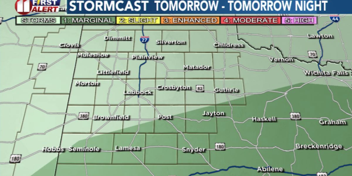
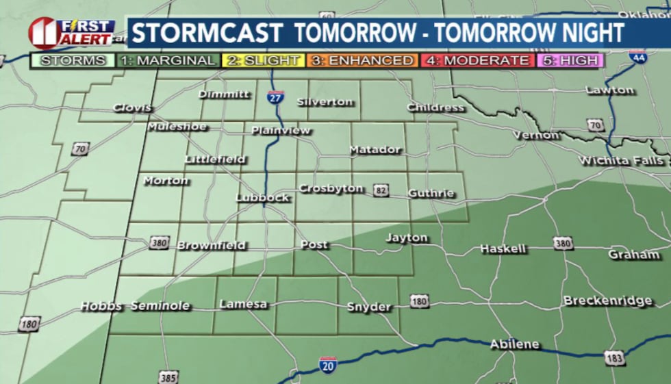 Storm cast Sunday(KCBD)
Clouds will build in fast overnight, and the air will likely feel heavier outside. Because of those south winds bringing in moisture and warmer air, temperatures won’t fall much tonight.
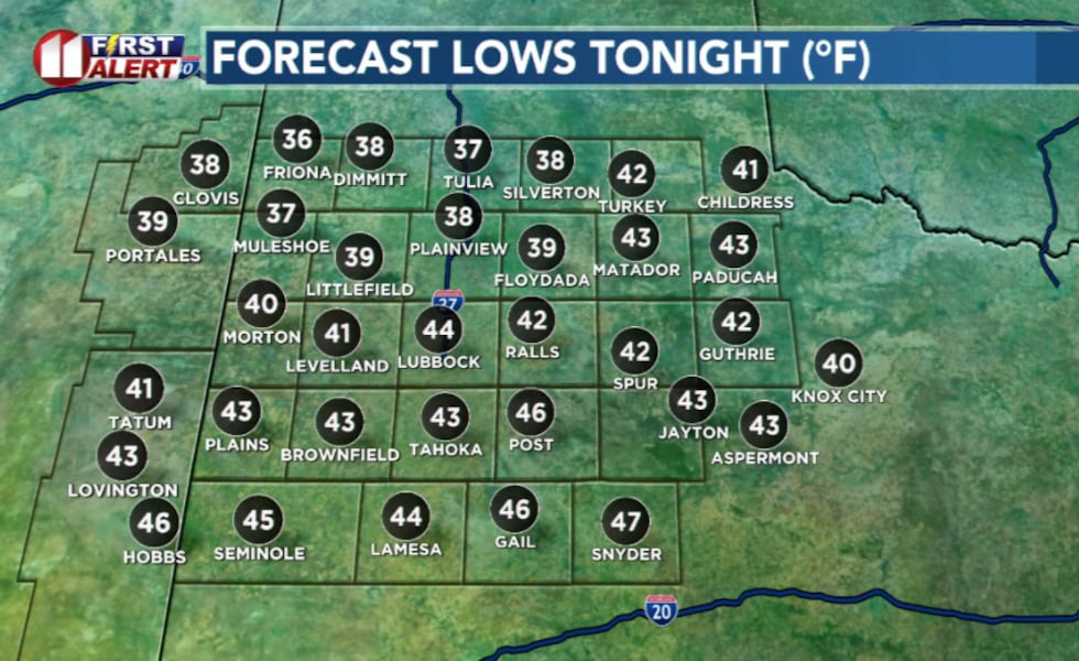 Lows Tonight(KCBD)
By early Sunday morning, the leading edge of moisture from the storm system will push into the South Plains. Expect off-and-on light rain after sunrise.
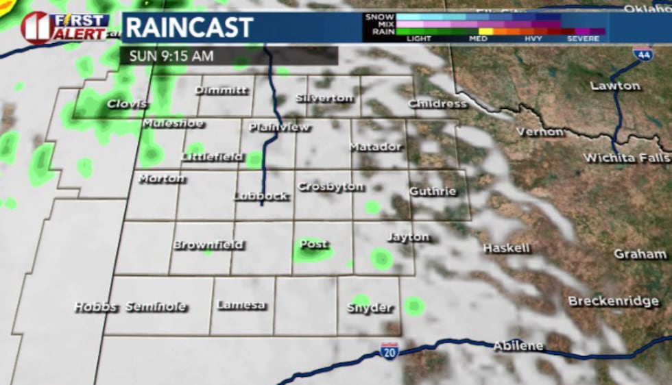 Rain will be lighter early in the day(KCBD)
Things could ramp up by mid-day and into early afternoon. Instead of one-solid wall of rain, expect scattered clusters or individual cells. Coverage will be widespread enough that most people will get something, even if the rain comes in bursts.
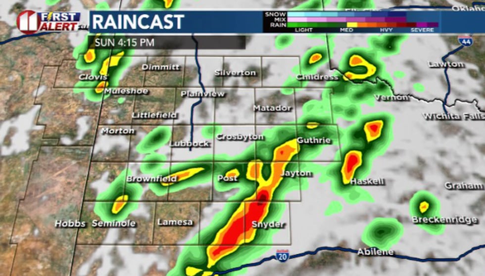 Future cast(KCBD)
Most will see around 0.10 to 0.25” of rain with heavier pockets off the Caprock.
The air near the ground will be cool and stable, so that limits the severe potential. But some stronger isolated storms could produce hail, especially east of I-27.
Storms will gradually taper off after sunset. But a few isolated storms could hang on until sunrise Monday.
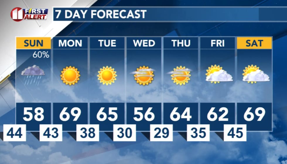 7 Day Forecast(KCBD)
Copyright 2025 KCBD. All rights reserved.