
Houston’s official climate observation site at Bush Intercontinental Airport hasn’t recorded measurable rainfall since Sept. 24. Crunchy lawns across the city are desperate for moisture, but at the end of the week, we could finally see some relief.
Before we get a shot at rain, we’ll need to get through a mostly dry, yet increasingly humid, Thursday. Southeast Texas will transition from pleasantly dry air to muggy and more summer-like conditions. The silver lining to this is an increase in low-level moisture should keep afternoon temperatures capped at between 85 and 87 degrees. That would still be warmer than normal, but slightly cooler than what we’ve experienced other days this month.
TORNADO PEAK: As Houston nears it’s peak tornado month, a North Dakota tornado recently became the first EF5 in the U.S. since 2013.
All in all, Thursday should still be a fine day to be outside. You may notice a few more clouds during the afternoon, but it’ll still be a good day to get your morning or evening stroll in.
{ “__type”: “devHubFreeformEmbed”, “__id”: “Datawrapper”, “__fallbackImage”: “https://datawrapper.dwcdn.net/NBhM5/mobile.png”, “__data”: { “datawrapper_id”: “NBhM5” } }
A shower or two will be possible towards the Gulf Coast, where a sea or bay breeze could get going and trigger rainfall. Even here, the chance for rain is less than 20%. Our odds for storms are slightly higher Friday into Saturday.
Scattered storms into the weekend
If one storm manages to develop Thursday afternoon south of Interstate 10, two to three more could pop up Friday.
Those of us keeping fingers crossed for beneficial rain should be ready to be disappointed when it doesn’t happen. Friday’s chance for a stray shower or two sits at around 30%. While not outstanding rain odds, it’s certainly the highest we’ve seen in several weeks.
Downpours are expected to be ongoing early Friday morning south of Houston. By 10 or 11 a.m., a few of those showers may sneak toward Houston. The possibility of a passing shower or storm persists through Friday afternoon, with slightly lower rainfall probabilities expected from Conroe to Livingston.
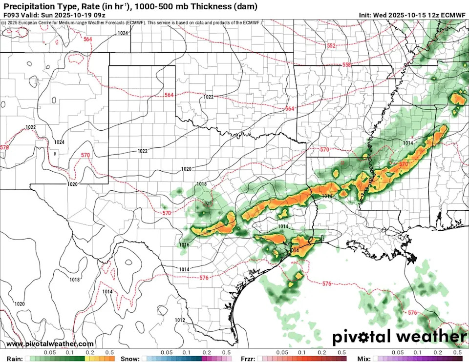
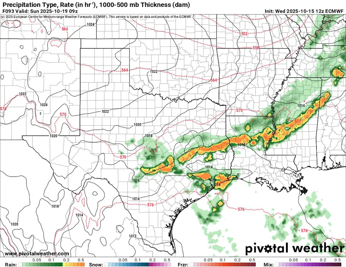
This image shows a future radar snapshot from the European forecast model for late Saturday evening as a weak cold front slides into Southeast Texas. Scattered storms could bring briefly heavy rainfall and gusty winds. (Pivotal Weather)
A weak cool front approaching Saturday should help initiate a few more storms late in the day. While this front won’t get to Southeast Texas until early Sunday morning, it is likely to cause another afternoon of scattered storms to bubble up as temperatures climb into the lower 90s. If you missed out on rain Friday, Saturday could provide a 40% chance of a quick passing shower.
FALL FRONTS: For Houston-area residents, fall can be a test of patience. Here’s when the first fall cold front normally arrives.
As drier air filters into the region behind our weak cold front, any spotty showers should dry up by Sunday afternoon.
How much rain will Houston get?
Southeast Texas shouldn’t expect drought-busting relief from whatever rainfall comes down of this weekend. Rain totals of a half-inch or less are expected, with many neighborhoods likely seeing only a tenth to two-tenths of an inch at most.
While this weekend’s showers won’t break the drought, the pattern could be shifting toward more consistent rain chances next week.
This article originally published at Rain could finally return to Houston for the first time since September. Here’s a timeline.