
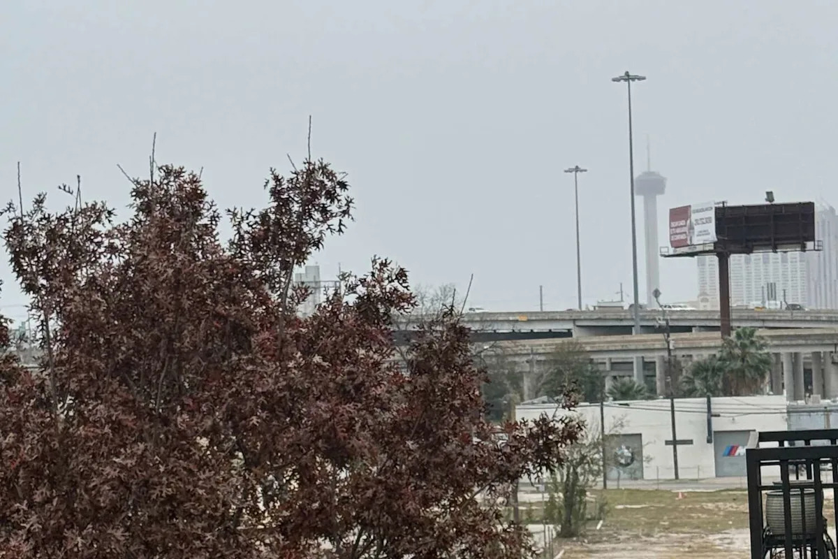
Cold fronts have barraged Texas several times over the past couple of weeks, bringing chilly days and cloudy skies. With another round sweeping the state Thursday, December 4, storm threats loom heavy over San Antonio heading into the weekend.
As snow blankets vast regions of the United States Wednesday and Thursday, those ice particles will warm slightly and shift to rain showers by the time they reach the Alamo City. It’s all slated to start on Wednesday night, per the National Weather Service, and linger throughout the rest of the work week.
“Today will be partly to mostly cloudy and mild with a few showers moving into the Coastal Prairies in the afternoon and early evening,” the federal forecaster wrote in a statement Wednesday morning. “Rain chances will continue into Friday with a chilly overrunning pattern expected Thursday. Warmer and drier weather returns this weekend.”
Odds start out pretty mild, with a mere 20% chance Wednesday night, but pick up throughout tail end of the week. There’s a 50% chance of showers Thursday morning and afternoon – odd which dip to 30% through the end of the workday Friday.
While gloomy days ahead may be in the cards for San Antonio this week, it also means the eventual weather warm up is delayed slightly. Just as temperatures began to creep back up into the 60s in South Central Texas Wednesday, this rain-bearing cold front will sink those afternoon highs back into the mid-50s.
Though, it’ll be short lived. Sunny and moderate afternoons in the low 70s are expected all weekend before another cold front barreling toward Texas breeches the Oklahoma-Texas border Sunday night into Monday morning.
This article originally published at Cold front temperature plummet brings strong storm threat to San Antonio.