
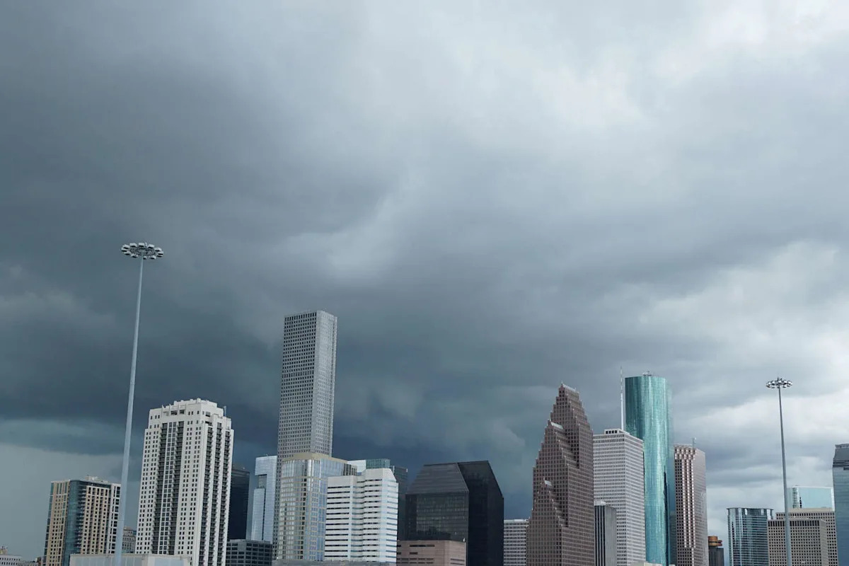
It’s been a long, dry stretch for Houston and Southeast Texas-the region hasn’t seen meaningful rain since September, and the lack of precipitation has left the ground parched and drought conditions lingering in many areas. In fact, Houston’s official climate observation site at Bush Intercontinental Airport hasn’t recorded measurable rainfall since September 24.
Temperatures have been running above average, with afternoons often climbing into the mid- to upper-80s, and a few spots even hitting 90 degrees.
But there’s good news on the horizon. The National Weather Service in Houston/Galveston says showers could finally arrive this weekend.
“A plume of higher atmospheric moisture is pushing into the region,” NWS forecasters said Thursday. That means isolated showers along the coast and offshore today, with a better chance for scattered rain and thunderstorms Friday and Saturday as a frontal boundary meets an eastward-moving trough in the mid- and upper-levels of the atmosphere.
Rain chances are expected to hover around 30–40 percent, and while the strongest storms should stay north of the area, northern Piney Woods counties are under a Marginal Risk (Level 1 of 5) for severe weather, according to the NWS.
The rain couldn’t come at a better time for Southeast Texas, which has been feeling the effects of lingering dryness. Drought conditions have left rivers, lakes, and reservoirs lower than usual, and the soil has been unusually hard and dry. Even a few scattered showers could provide a much-needed boost to water supplies and help green up lawns and gardens.
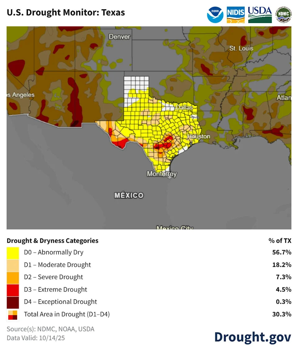
Drought map of Texas. (Drought.gov)
Looking beyond the weekend, forecasters say Southeast Texas will continue to see an active weather pattern next week. After the mid- and upper-level trough moves through Sunday, a ridge will briefly bring drier conditions, but another trough could push a frontal boundary through Tuesday, bringing more scattered showers. A cooler air mass is expected midweek, with highs dropping into the low- to mid-80s and lows in the mid-50s to low-60s – nothing extreme, but a refreshing return to seasonal norms after weeks of above-average heat.
More Weather
Rating | FEMA gives Harris County a perfect 100 for hurricane risk
Repeat | Houston storms knock out power again despite CenterPoint upgrades
Damage | What to know about the ‘monster’ tornado that ripped through Texas
Forecast | Texas faces higher risk of direct hurricane impact than past years
For the latest and best from Chron, sign up for our daily newsletter here.
This article originally published at Houston’s long dry spell may end soon as showers and a cold front move in.