
North Texans may have been excitedly anticipating the return of rain, but Saturday’s storm system is now looking more severe.
The chance of precipitation for Saturday has doubled since Wednesday, currently sitting at 60%. The rain clouds are expected to move west to east across North Texas on Saturday, bringing showers and storms to the western side of the Interstate 35 corridor by midmorning.
According to the National Weather Service’s Fort Worth office, the highest chance of strong storms in the morning should be in Tarrant, Denton, Collin and Grayson counties.
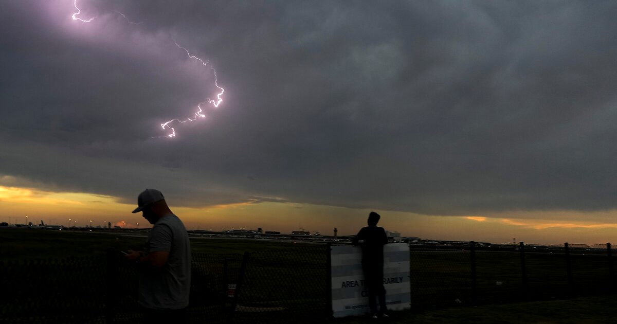
The greatest potential for severe weather threats — like large hail, damaging winds and frequent lightning — is forecast to be in the afternoon to the east of Interstate 45 and U.S. Highway 75. The weather service has said the risk of severe threats is highest for Rockwall, Kaufman, Hunt and Fannin counties, as well as more counties further east.
D-FW Weather Wise
These rain chances could dampen participation in the State Fair of Texas’ final weekend, as well as “No Kings” protests expected across the metro area Saturday.
The storms are expected to move out of the area by Saturday evening, with colder temperatures on their heels. The low Sunday morning is 57 degrees, with the high for the entire day at a brisk 75.
The latest Dallas weather forecast from KXAS-TV (NCB5):
SATURDAY: Partly cloudy, breezy and very warm with a 20% chance for showers and thunderstorms. Low: 70. High: 91. Wind: SW 10-20 mph.
SUNDAY: Mostly sunny and a bit cooler. Low: 61. High: 80. Wind: NNE 10-15 mph.
MONDAY: Sunny, breezy and warmer again. Low: 59. High: 90. Wind: S 10-20 mph.