
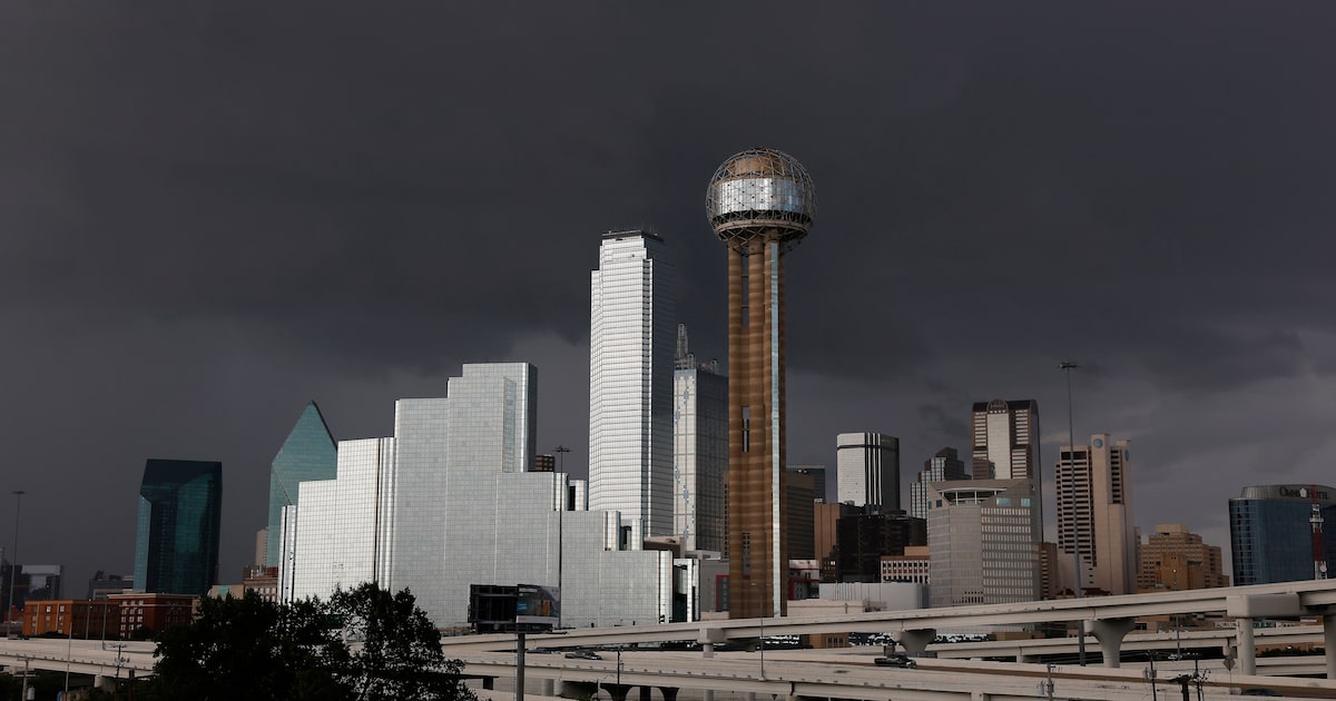
For the first time in over three weeks, North Texas is expected to get rain. And not just showers.
The possibility of severe threats are strongest in the afternoon, as showers move from west to east across the region. Those weather threats include damaging winds, hail and frequent lightning, according to the National Weather Service’s Fort Worth office.
They have the possibility of developing for most of the region, with severe storm chances from Waco to the Oklahoma border and east onward from Dallas-Fort Worth.
D-FW Weather Wise
Rain and thunder chances are highest for the core of the metro area from 10 a.m. to 3 p.m., but are possible anytime between 7 a.m. and 7 p.m.
These storms could significantly impact turnout for outdoor events across the metro area Saturday, including “No Kings” protests and the final weekend of the State Fair of Texas.
In the evening, the storms should exit North Texas, followed by cooler temperatures. Sunday morning is expected to be excitingly brisk, at 57 degrees.
The latest Dallas weather forecast from KXAS-TV (NBC5):
SATURDAY: Partly cloudy, breezy and warm with a 70% chance for thunderstorms. Some storms may become severe with damaging wind gusts. High: 82. Wind: SW 10-20 mph.
SUNDAY: Sunny and cooler. Low: 57. High: 76. Wind: NNE 10-15 mph.
MONDAY: Sunny, breezy and much warmer. Low: 56. High: 89. Wind: S 10-20 mph.
TUESDAY: Mostly sunny, breezy and a bit cooler again. Low: 62. High: 80. Wind: N 10-20 mph.
WEDNESDAY: Partly cloudy and warm. Low: 57. High: 82. Wind: SE 5-10 mph.