
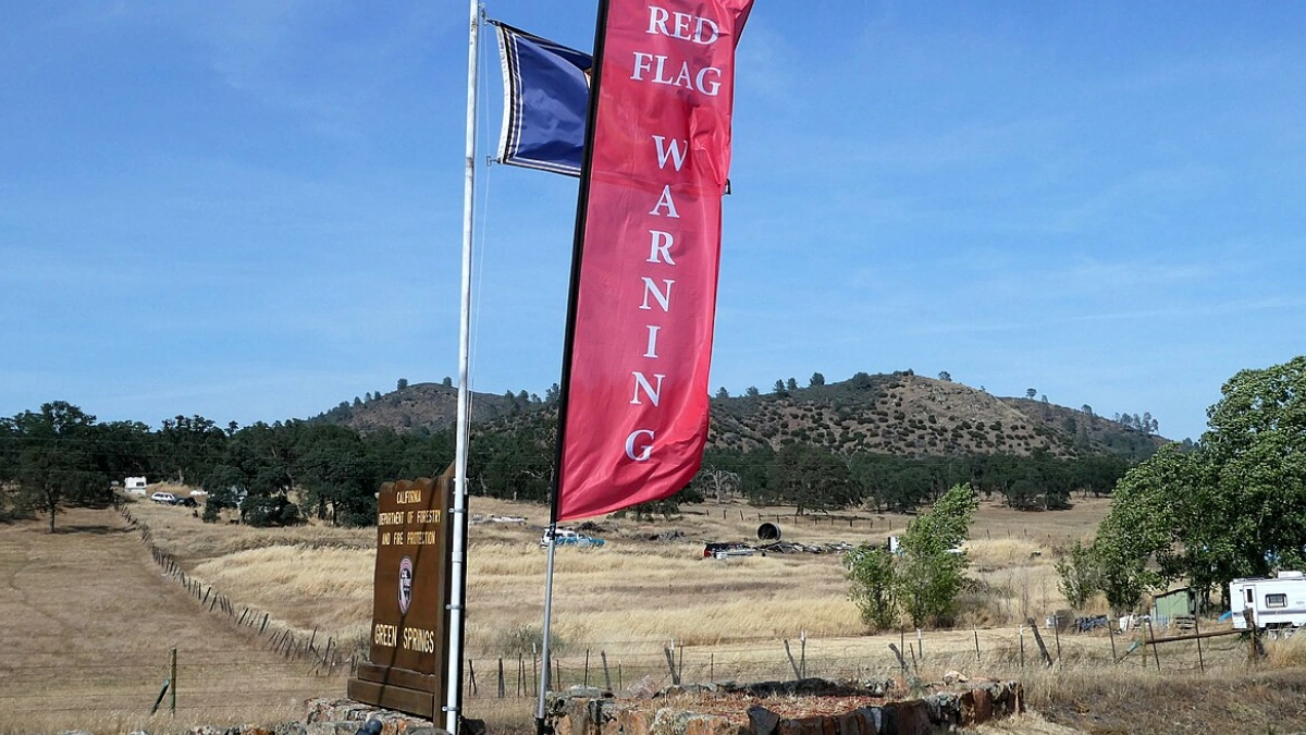
The National Weather Service (NWS) offices in Pueblo, Colorado; Norman, Oklahoma; and Amarillo, Texas issued Red Flag Warnings for portions of southern and eastern Colorado, western Oklahoma, and the Texas Panhandle through Monday afternoon and early evening.
The warning areas are forecast to see low relative humidity along with dry winds, increasing fire danger across the region.
Red Flag Warnings are in effect for Fire Weather Zones 227 to 233, including Pueblo, Huerfano, Las Animas, Crowley, Otero, and El Paso counties, in Colorado. These warnings are valid from 10:00 to 17:00 MST on Monday. West winds of 24–40 km/h (15–25 mph) with gusts up to 64 km/h (40 mph) are expected, and relative humidity values may fall as low as 12–15 percent are forecast across the region.
NWS Norman office put Roger Mills, Beckham, and Harmon counties in Oklahoma under a Red Flag Warning, along with Hardeman County in western Texas from 12:00 to 17:00 CST.
Southwest winds of 16–32 km/h (10–20 mph) with gusts up to 48 km/h (30 mph) and relative humidity as low as 12 percent are expected. Forecast high temperatures near 28°C (83°F) will further dry surface fuels in the region.
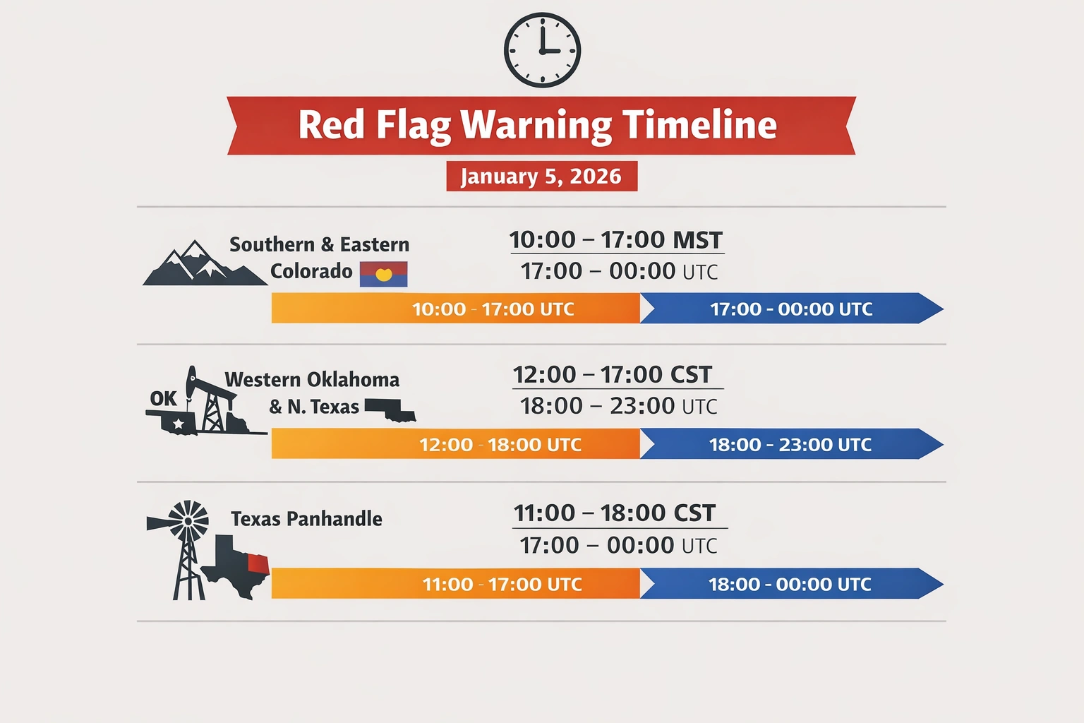 Image credit: The Watchers
Red Flag Warnings are in effect for much of the south and central Texas Panhandle, including Roberts, Hemphill, Oldham, Potter, Carson, Gray, Wheeler, Deaf Smith, Randall, Armstrong, Donley, Collingsworth, and Palo Duro Canyon areas. The warning is effect from 11:00 to 6:00 CST.
Westerly winds of 24–40 km/h (15–25 mph) are forecast across the region with gusts nearing 64 km/h (40 mph), and relative humidity values falling near 10 percent. These conditions are rated low-end critical but sufficient to support rapid fire growth if ignition occurs.