
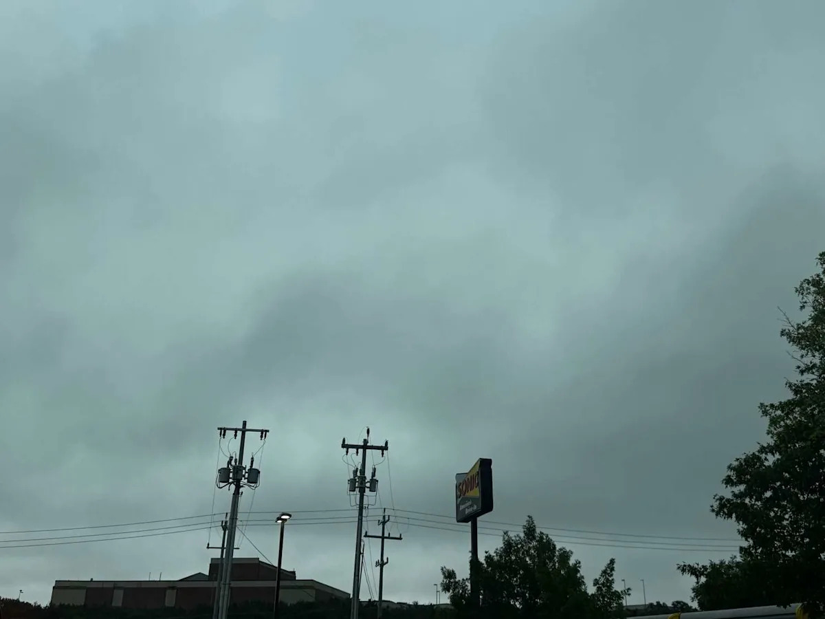
Those living along the I-35 corridor could experience severe weather starting today, Friday, January 9. There is a marginal risk for isolated storms beginning in the late morning through the early evening.
The National Weather Service (NWS) office of Austin and San Antonio is warning Texans in South Central and Central Texas of severe thunderstorms that could bring large hail and damaging winds to the area along and east of the I-35 corridor. A graphic shared by NWS reveals the highest risk of storms is east of I-35 between San Antonio and the North Austin suburb of Georgetown.
The storms are expected to begin around 10 a.m. Friday and could run through the late evening, around 9 p.m. The storms are moving in hours before a cold front is set to drastically drop temperatures.
San Antonio severe weather may cause travel delays
The Federal Aviation Administration (FAA) is warning that those flying in and out of San Antonio and Austin, among other airports, should expect delays. Thunderstorms may impact flights in Austin (AUS) and San Antonio (SAT), along with flights in Atlanta (ATL) and Detroit (DTW). Check your flight information to see if your travel has been impacted.
At the time of publishing, it appears flight delays out of SAT are minimal, but this could change at any moment. If you’re flying out of the San Antonio International Airport, you can use the airport’s flight status tracker on its website for up-to-date flight information on your and other flights in and out of SAT.
Have weather pics you want to share with MySA? Send them our way on social or via email at news@mysa.com.
This article originally published at NWS: Large hail, severe thunderstorms and damaging winds threaten San Antonio.