
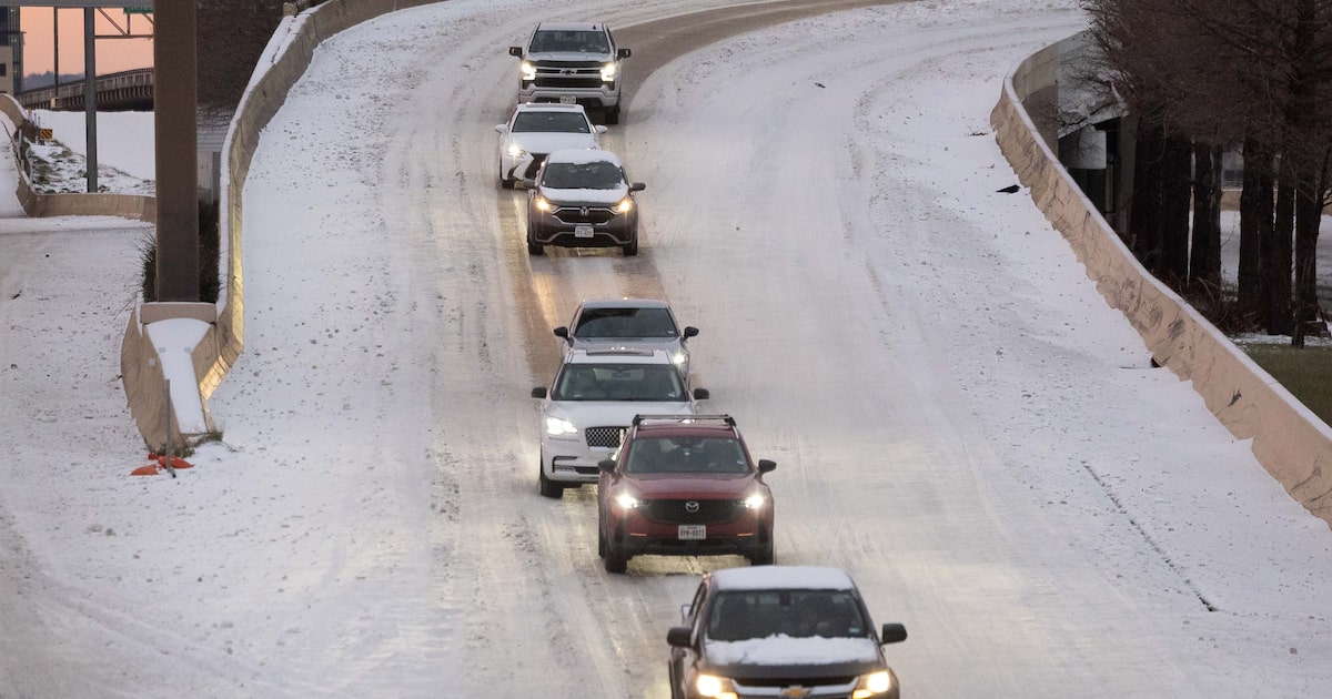
Now that the winter precipitation has stopped falling, North Texans are left with one crucial question: when will it melt?
Unfortunately, there isn’t just one answer. Instead, a pattern of melting and refreezing may persist for several days.
Temperatures are not expected to climb above freezing anywhere in Dallas-Fort Worth on Monday, according to the National Weather Service’s Fort Worth office, with a high of 28 degrees at DFW International Airport. Widespread sunshine is expected across the region in the afternoon, though, which should allow for some melting.
Any melting that occurs Monday is expected to quickly refreeze once the sun sets. Overnight lows are forecast to drop into the single digits for parts of North Texas on Monday night, with a low of 12 degrees at the airport.
D-FW Weather Wise
That refreezing makes black ice a threat for D-FW residents Tuesday morning, the weather service warned.
The temperature should finally rise above freezing Tuesday afternoon, which, combined with warmer southwest winds, should allow for more significant melting. However, the weather service also noted that thick clouds are expected higher in the atmosphere, which could slow the melting process.
Related

Tuesday night should fall well below freezing again, with a low of 21 degrees. Roads could still see notable ice hazards on Wednesday morning, but exact road conditions will depend on how much ice can be cleared by the Texas Department of Transportation and other agencies.
A pattern of daytime temperatures above freezing and overnight temperatures below 32 degrees is expected to continue for at least the next week. The daytime warmth should clean up most of North Texas’ roads by Thursday afternoon, the weather service said, noting that ice on concrete or asphalt melts faster than on grass.