
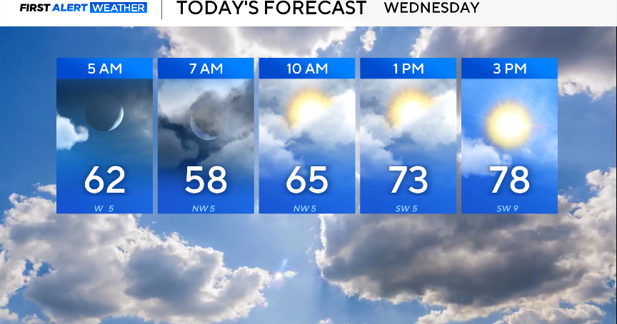
Wednesday starts mild with temperatures in the 50s and 60s. By afternoon, temperatures will be warm and well above average, with highs close to 80° and partly cloudy skies.

The main weather story over the next couple of days will be the elevated fire danger.
A fire weather watch is in place for portions of the northwest counties on Thursday, as dew points fall and winds increase. The threat of fire danger on Wednesday is along and west of I-35.
Please avoid any outdoor burning, as with these dry conditions, any fires that start will spread rapidly.


Looking ahead to the rest of the week, a cold front moves through on Thursday, dropping temperatures on Friday and into the weekend. It will be noticeably cooler this weekend, and with breezy winds, temperatures will feel cooler than they are.
Rain chances have gone down even more, with spotty showers expected on Friday and Saturday.
The cooler temperatures will be short-lived as models are pointing toward temperatures quickly returning to above average as March begins, with highs in the 60s and 70s, and lows in the 50s.
