
Millions in Texas and Oklahoma are gearing up for potential flooding Thursday night and into the weekend, the National Weather Service (NWS) warns.
Newsweek reached out to the agency via email for additional information.
Why It Matters
Millions of people are under heightened alert as flood watches stretch across portions of both states.
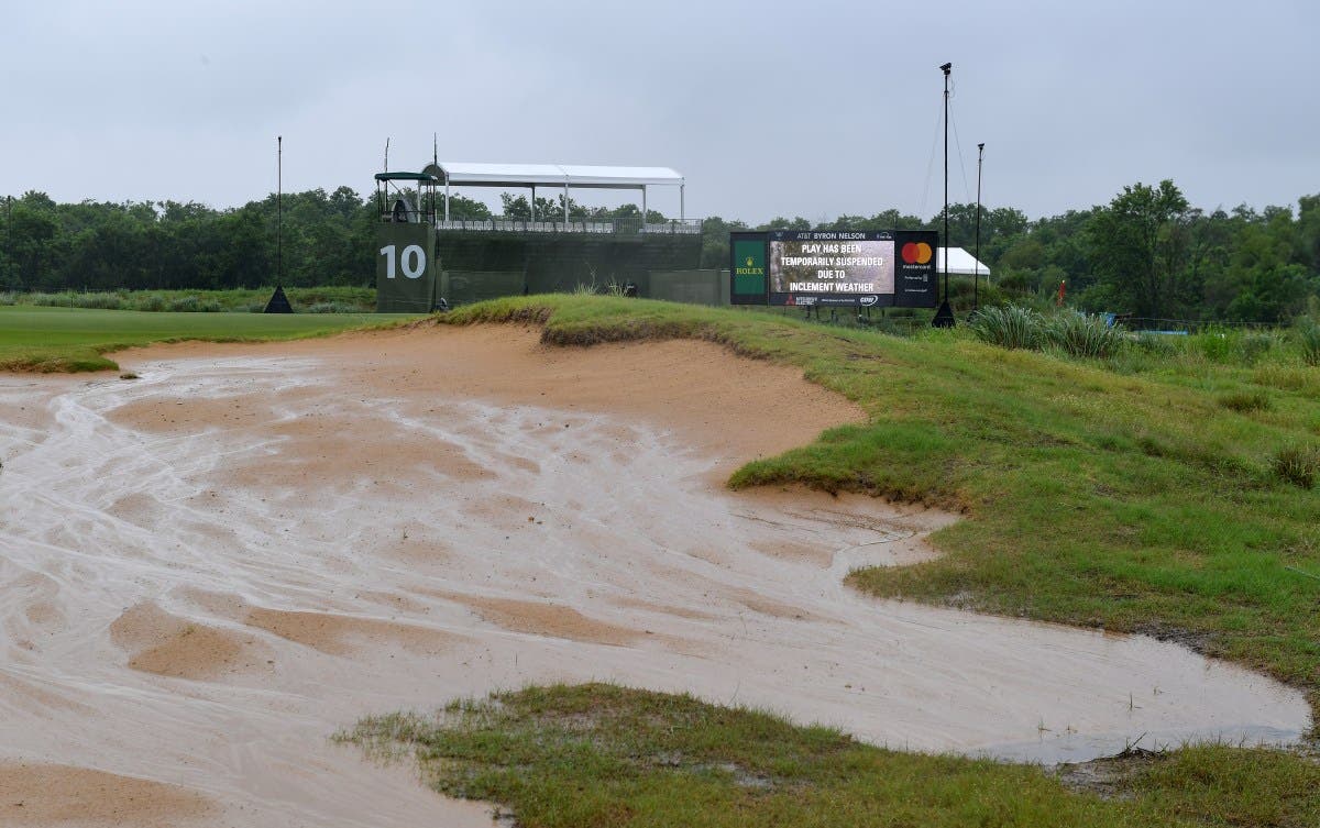
Texas was walloped by deadly flash floods that devastated parts of Texas Hill Country earlier this year. The recent disasters have emphasized the challenges of emergency preparedness and communication in a region historically prone to rapid and unpredictable flooding.
What To Know
According to the NWS, the flood watch is for portions of north-central Texas, including the cities of Fort Worth, Dallas, Waco, Denton and more. The watch extends north into Oklahoma as well, impacting Oklahoma City, Tulsa and Ada, along with additional cities.
The watch goes into effect at 7 p.m. Thursday CT for portions of Oklahoma, including Caddo, Canadian, Carter, Cleveland, Comanche, Cotton, Garvin, Grady, Jefferson, Johnston, Love, Marshall, McClain, Murray, Oklahoma, Pontotoc, Pottawatomie and Stephens Counties. The watch also begins Thursday night for northern Texas, including Clay County, the NWS says.
For portions of central, east-central, northeast, northern, northwest and southeast Oklahoma, the watch starts Friday morning. Portions of north and central Texas along and east of the I-35 corridor see the watch go into place Friday evening, per the NWS.
“Excessive runoff may result in flooding of rivers, creeks, streams, and other low-lying and flood-prone locations. Flooding may occur in poor-drainage and urban areas. Creeks and streams may rise out of their banks,” NWS Fort Worth says.
The watch says that “Rainfall totals of 2 to 3 inches, with isolated higher amounts between 4 to 5 inches,” are possible.
 What People Are Saying
NWS Fort Worth, on X Thursday: “Even with it being dry lately, periods of heavy rain this weekend will lead to an isolated flooding threat. Most likely rain totals are from 1 to 3 inches through Saturday, with isolated (10%) coverage of 4 to 5 inches. Stay weather aware this weekend! #dfwwx #ctxwx #txwx“
NWS Tulsa, also on X Thursday: “Multiple rounds of showers and storms are expected over the next few days. An axis of heavy rainfall is possible across portions of NE OK through Sat morning. A Flood Watch has been issued for 2-3in with locally higher totals of 4-5in in the watch area. #okwx“
What Happens Next
The NWS advises residents to monitor additional forecasts for potential flood warnings to be announced in the area. “Those living in areas prone to flooding should be prepared to take action should flooding develop,” the watch says.