
Houston is bracing for the worst as forecasters warn of strong storms and severe weather expected to pound the city Friday night, bringing the threat of heavy rain, lightning, and potential flooding through Saturday morning.
The National Weather Service (NWS) Forecasters in Houston are warning of multiple rounds of storms, and as a result, city agencies have already begun preparations.
Houston Public Works says for that reason, it will temporarily lower Lake Houston by 12 inches starting Friday afternoon. It’ll take about 24 hours for the lake’s water to reduce to an elevation of 41.4 feet, so nearby residents are encouraged to secure their property along the shoreline.
CenterPoint Energy, meanwhile, says it has activated its storm readiness plan and is continuing to monitor for whatever conditions the storms could bring.
“We’re closely monitoring the weather models as conditions continue to evolve,” Matt Lanza, CenterPoint’s Manager of Meteorology, said in a statement. “The greatest potential for heavy rain, thunderstorms, lightning, and localized flooding appears to be early Saturday morning. Our teams are staying alert and ready to respond safely and quickly if severe weather impacts our region.”
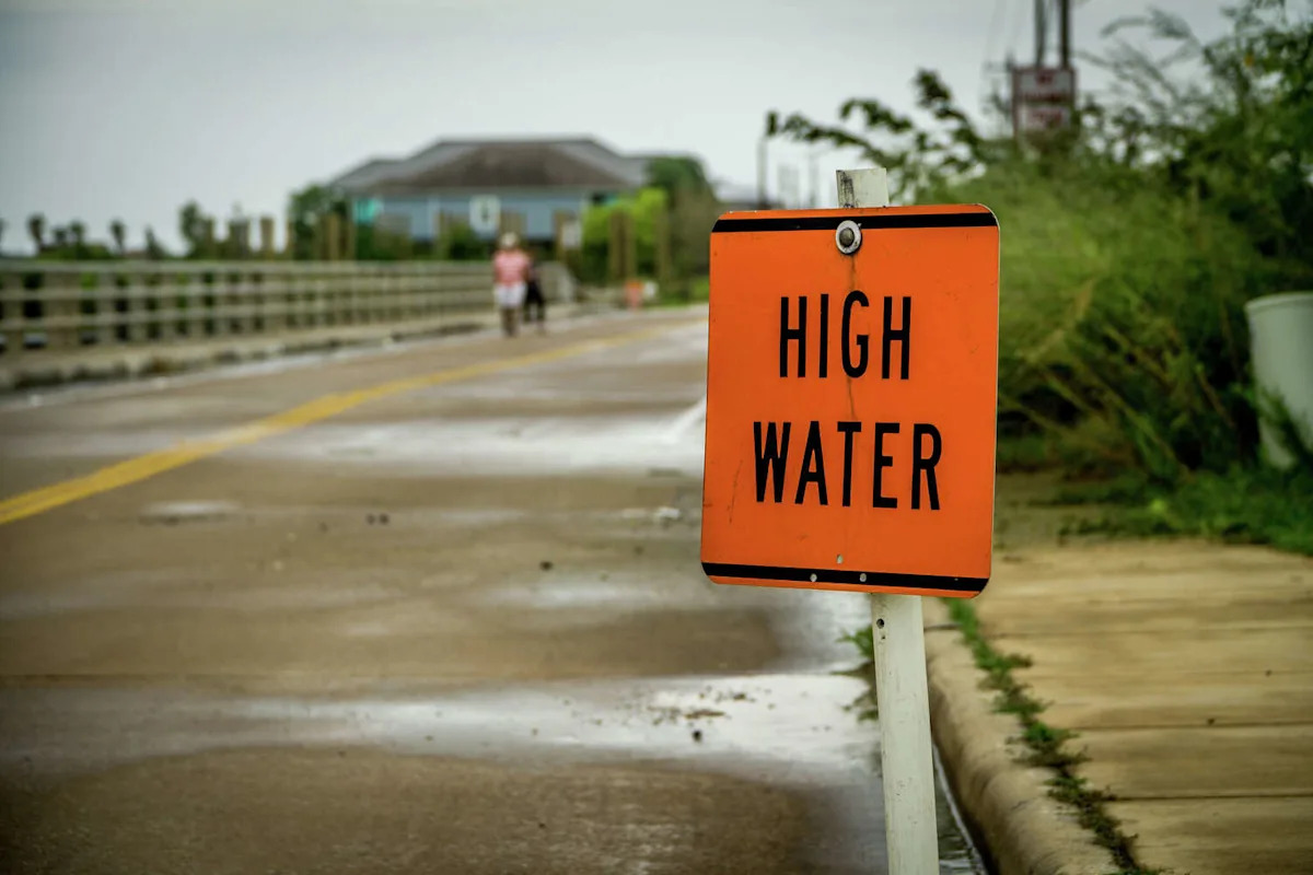
The system could bring damaging wind gusts, heavy rainfall, and frequent lightning, especially north of I-10 and across the Brazos Valley, where conditions are “favorable for heavy rainfall,” the NWS said.
A second round of storms could arrive Saturday afternoon into early Sunday, compounding the threat over already-saturated ground. “We’re not under a Flood Watch yet, but we’re discussing the potential for one,” meteorologists said, noting a 70–80 percent chance of more than four inches of rain north of I-10, along with a marginal risk of severe storms and even an isolated tornado.
Houston has gone nearly a whole month with a little more than a few raindrops. October also has broken records for the warmest temperatures compared to previous years, Space City Weather notes. Even last weekend’s showers weren’t enough to provide relief to the ongoing drought.
The rain threat should taper off by Sunday afternoon as a front moves east, ushering in cooler air and what could become Houston’s first true taste of fall by Halloween.
More Weather
Rating | FEMA gives Harris County a perfect 100 for hurricane risk
Repeat | Houston storms knock out power again despite CenterPoint upgrades
Damage | What to know about the ‘monster’ tornado that ripped through Texas
Forecast | Texas faces higher risk of direct hurricane impact than past years
For the latest and best from Chron, sign up for our daily newsletter here.
This article originally published at Houston braces for the worst as weekend storms barrel into the area.