
Potential hail storms are expected to hit TCU starting today and could continue through the weekend.
According to the National Weather Service, scattered showers with large hail and severe wind gusts are anticipated to start Wednesday morning.
Severe thunderstorms with potential hail will continue on and off through Thursday. On Friday, students should be prepared for more hail and the possibility of tornadoes. On Saturday, there is an additional risk of flash flooding.
“Severe hail is typically around one inch, or the size of a quarter, in diameter, but we could see a little bit bigger than that,” said Jason Dunn, a meteorologist at the Fort Worth/Dallas National Weather Service. “There will be a threat for hail pretty much every one of those days.”
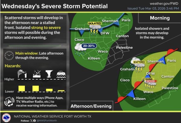 The forecast for Wednesday’s severe weather includes chances of hail and damaging winds. (Courtesy of the National Weather Service)
Dunn said severe weather will be most prevalent on Friday due to the prolonged period of potential thunderstorms and flash flooding. He expects the storms to subside on Saturday.
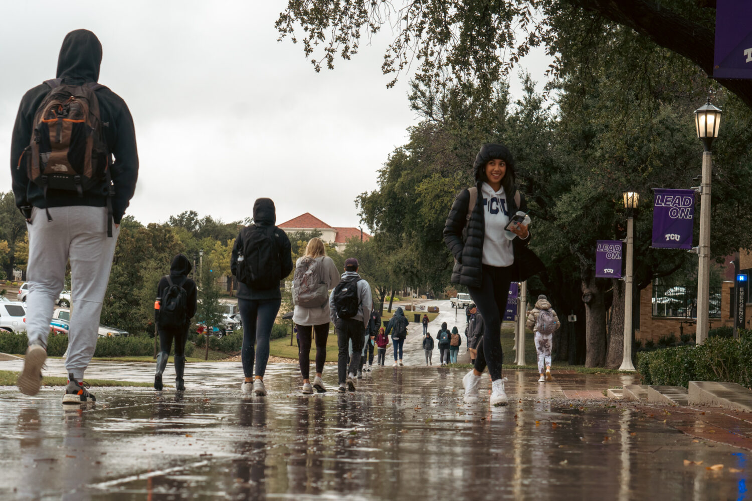
According to the TCU Parking and Transportation website, 16,000 vehicles park on campus every day. Because only two covered parking garages are available for student use, some students worry their car could be damaged by hail.
“The parking situation is already difficult, so I’m worried it will be even more competitive to get a covered parking spot before the storms,” said Olivia Curleigh, a sophomore communications major. “I will have to adjust my schedule to try and get a spot before they are all taken.”
Dunn said students should try to protect their cars starting Wednesday afternoon. He emphasized the importance of staying up to date on weather alerts to remain informed through the weekend.