
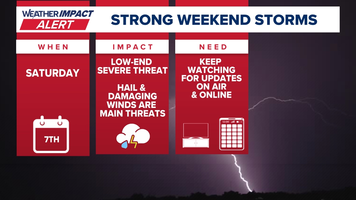
A Weather Impact Alert is in effect for Saturday as a cold front brings the threat of severe storms and heavy rain to Austin and Central Texas this weekend.
AUSTIN, Texas — A significant shift in the weather pattern is heading for Central Texas, and it’s bringing a Weather Impact Alert along with it. While we’ve enjoyed some relatively quiet weather days recently, Saturday is shaping up to be an active weather day as a potent cold front moves through the region.
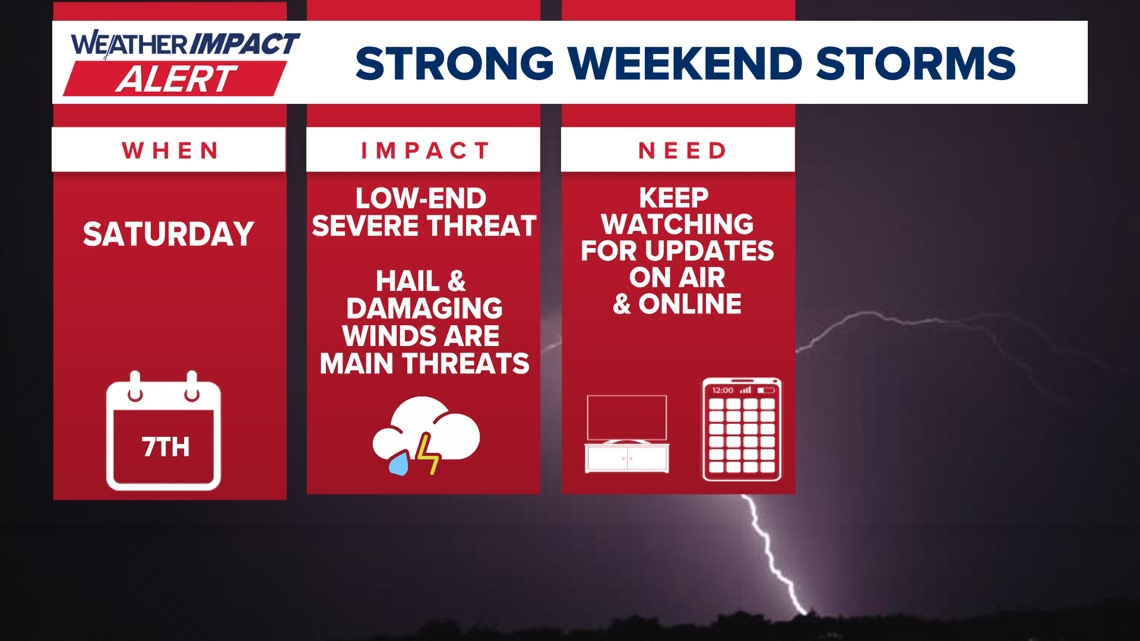
The primary concern for Saturday is a low-end severe weather threat. While we aren’t looking at a widespread outbreak, the ingredients are there for a few storms to turn rowdy.

Timing the Front
If you have Saturday plans, you’ll want to keep a close eye on the radar. Current projections show the cold front pushing into our northern counties by mid-afternoon.
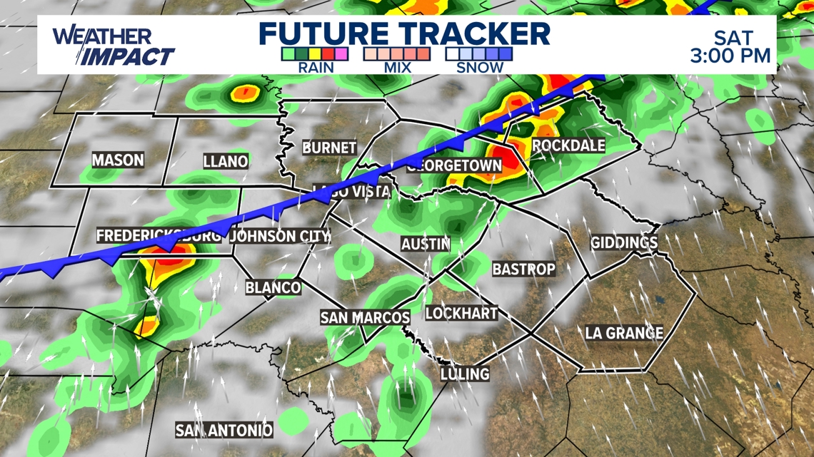
By 3 p.m., we expect a line of showers and thunderstorms to be draped across the Hill Country and the northern I-35 corridor. As the front continues to slide southeast, the intensity of the rain is expected to pick up.

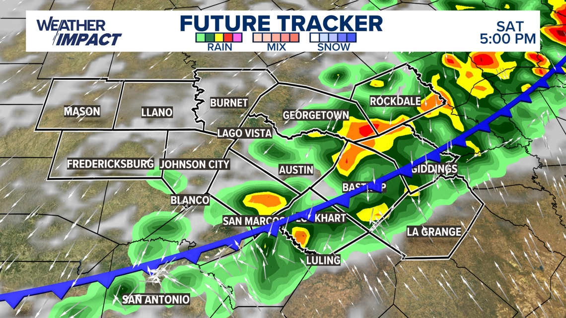
By 5 p.m., the heart of the metro area, including Austin, Bastrop, and San Marcos, will likely be in the thick of it. This is when the heaviest activity is expected to move through the city, potentially impacting the evening commute or any dinner plans.

Severity and Impacts
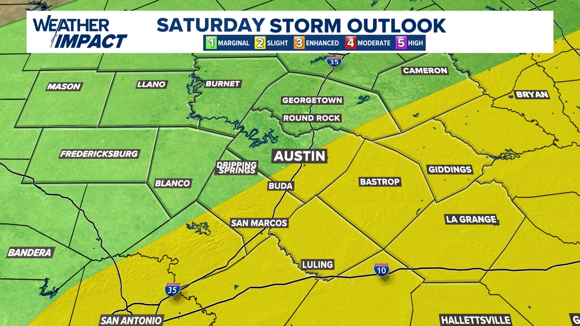
The Storm Prediction Center has placed a good portion of our area under a risk for severe weather.
The highest risk sits just to the south and east of Austin, where a “Slight Risk” (level 2 of 5) is in place. Areas like Bastrop, Giddings, and La Grange are in this zone, while Austin and the Hill Country remain under a “Marginal Risk” (level 1 of 5).

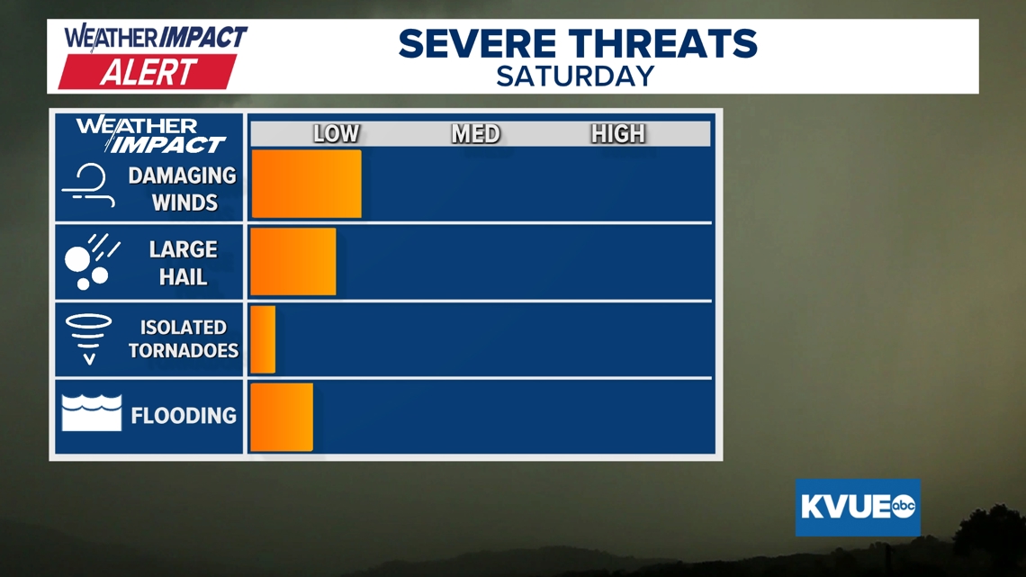
Damaging wind gusts and large hail are the primary threats. While the tornado threat is very low, it’s not zero, so we’ll be monitoring any rotating storms closely. Flooding is also a concern, especially in areas that see repeated rounds of heavy rain.

Rainfall Totals
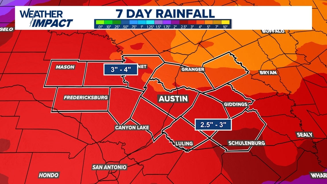
Beyond the severe threat, this system is a rainmaker. We are looking at some healthy totals over the next week that will certainly help our local aquifers and lake levels.
Most of Central Texas can expect between 2.5 and 4 inches of rain through next Thursday. The heaviest amounts appear to be trending toward the Hill Country, specifically Mason and Llano counties.

Keep your KVUE app handy this weekend. We will provide frequent updates as the front approaches and let you know exactly when the strongest storms are moving through your neighborhood.