
Provided/ NWS Houston/Galveston
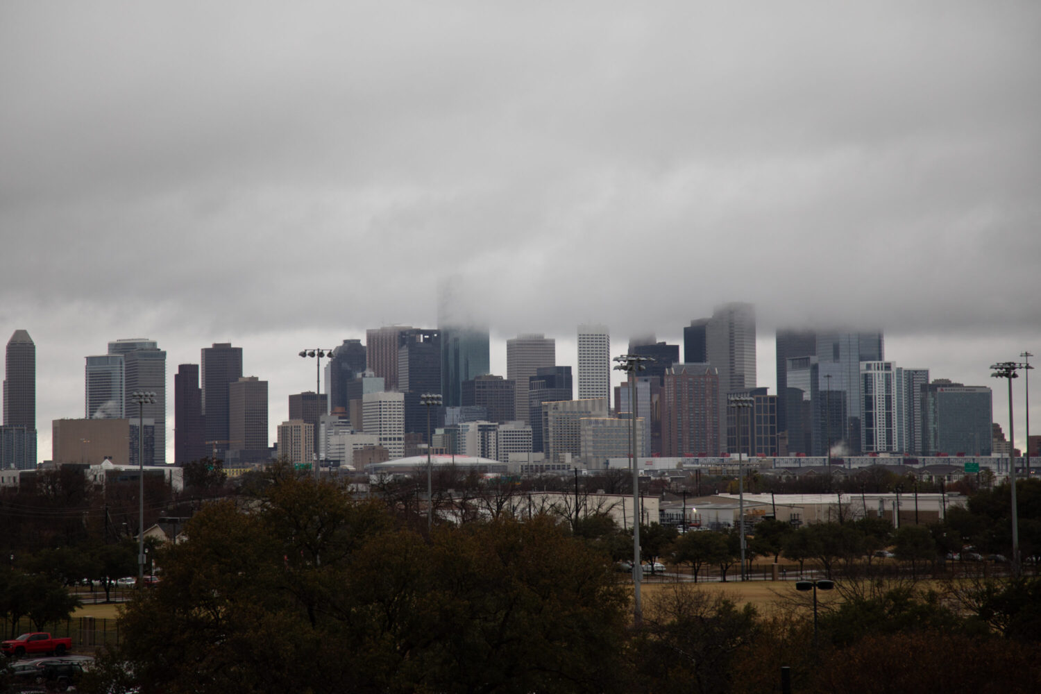
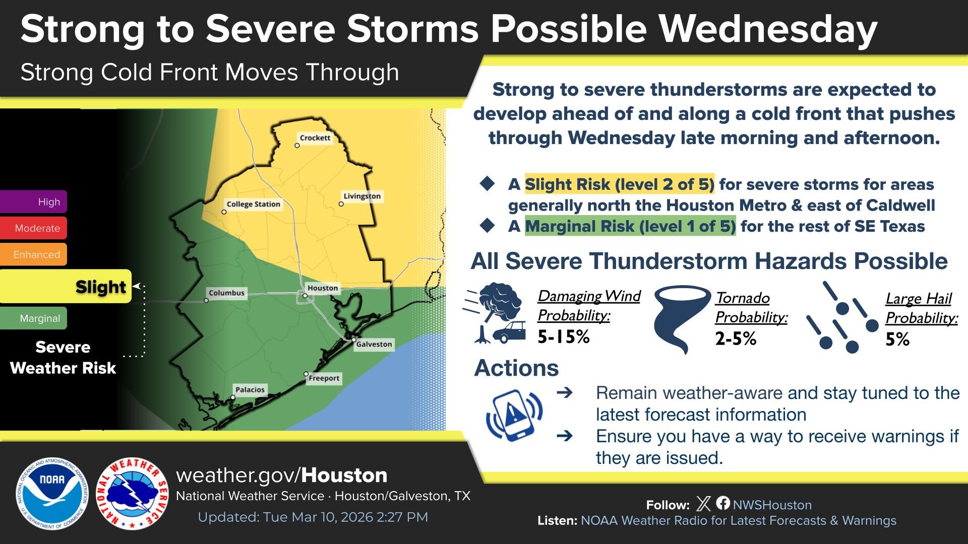
There is a chance for severe storms in the greater Houston area on Wednesday as a strong cold front moves through the region, according to the National Weather Service.
Thunderstorms are possible late Wednesday morning into early Wednesday evening, according to the weather service’s Houston/Galveston office. The storms could cause minor urban flooding or localized flash flooding. The risk for excessive rainfall is higher north of Houston, while a marginal risk is forecast for the metro area down to the Gulf Coast. There is also a slight chance of damaging winds and a less than 10% chance of tornadoes and large hail.
Sign up for the Hello, Houston! daily newsletter to get local reports like this delivered directly to your inbox.
National Weather Service meteorologist Bradley Brokamp said residents can expect a line of showers and thunderstorms from the north to make its way across Houston.
“So, we’re going to see a pretty big mess of showers and thunderstorms throughout the day,” he said. “All severe weather hazards are on the table. We could even get some heavy rainfall as well with some of these [storms] if they keep tracking over the same area.”
For those planning to attend the Houston Livestock Show and Rodeo on Wednesday evening, Brokamp said they may want to bring a jacket.
RELATED: How bull fighters and barrelmen protect cowboys at the Houston rodeo
“Maybe later in the evening, during the evening hours, you’ll start to see some of that taper off and push off to the east, but I mean it’s certainly looking like there’ll probably be quite a bit of rain,” he said.
Brokamp said those enjoying spring break in Galveston should be on the lookout for strong winds and potential rip currents.
“You’re going to want to make sure that you’re swimming near lifeguards if possible,” he said. “Stay away from any like jetties, piers, basically anywhere where water can sort of, like, pile up. … That’s typically where you get a lot of rip currents.”