
SAN ANTONIO – An 118-year heat record is likely to fall this afternoon in San Antonio as temperatures soar to the middle 90s ahead of our strong late-season cold front this evening.
The record for the date is 91 degrees set back in 1908. This afternoon, temperatures will hover in the middle 90s in San Antonio, with triple-digit temperatures possible across our southern counties.
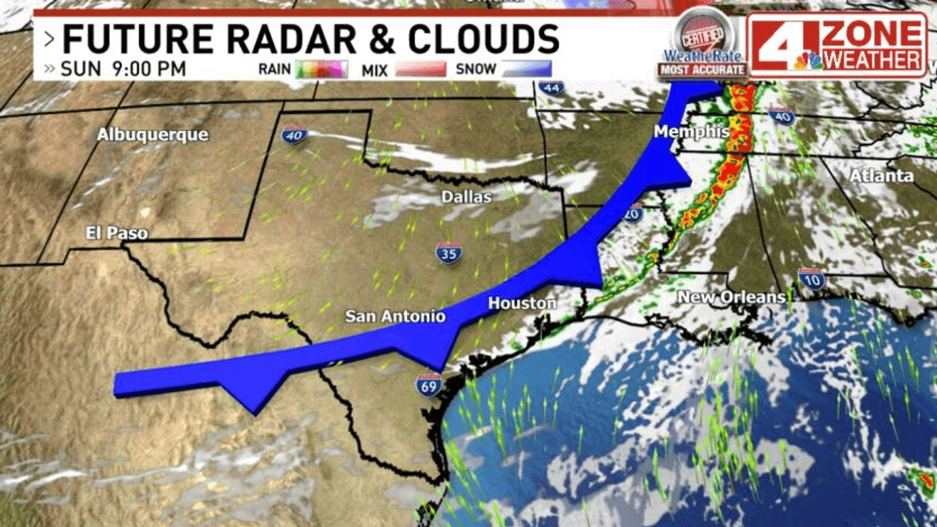
This mid-March heat wave comes to an abrupt end later this evening as a cold front will move through our area between 5 and 8 pm. Behind the front, winds will gust 40 – 50+mph through the night into Monday morning. A ‘Wind Advisory’ goes into effect at 3 pm Sunday. These winds will also increase the fire danger present in the region. A ‘Red Flag Warning’ is in effect through 8 pm Monday due to the high fire concern.
Temperatures will also fall drastically behind the front. Temperatures go from the middle 90s to the upper 30s for many by Monday morning. With the wind, it will feel like the 20s in many locations early Monday morning. Winds back off through the day on Monday, resulting in much calmer conditions by Monday night. Temperatures only climb to the upper 50s on Monday afternoon.
The coldest temperatures arrive Tuesday morning as all locations across the area are expected to dip into the 30s, with a light freeze expected for the colder valleys of the Hill Country. The afternoon on Tuesday will be milder in the upper 60s.