
AUSTIN, Texas — Central Texas is bracing for a dramatic weather shift over the next 36 hours with one of the largest temperature swings in Austin’s history.
The National Weather Service has issued a Red Flag Warning from Sunday at noon through Monday at 8 p.m. and a Wind Advisory from Sunday at 3 p.m. through Monday at 5 a.m. for all of central Texas.
ALSO | Long lines for TSA, bag check at Austin airport subside after continuing for a third day
The alerts come as a rare combination of a dryline and a powerful Arctic cold front are expected to bring extreme heat, dangerous wildfire conditions, and a rapid plunge in temperatures with the arrival of much colder air.
The NWS asks residents to avoid open flames or sparks outdoors, keep vehicles off of dry grass, and to properly discard cigarettes.
In response to the fire weather risk, the City of Austin is prompting residents to remain ready in the event of a wildfire.
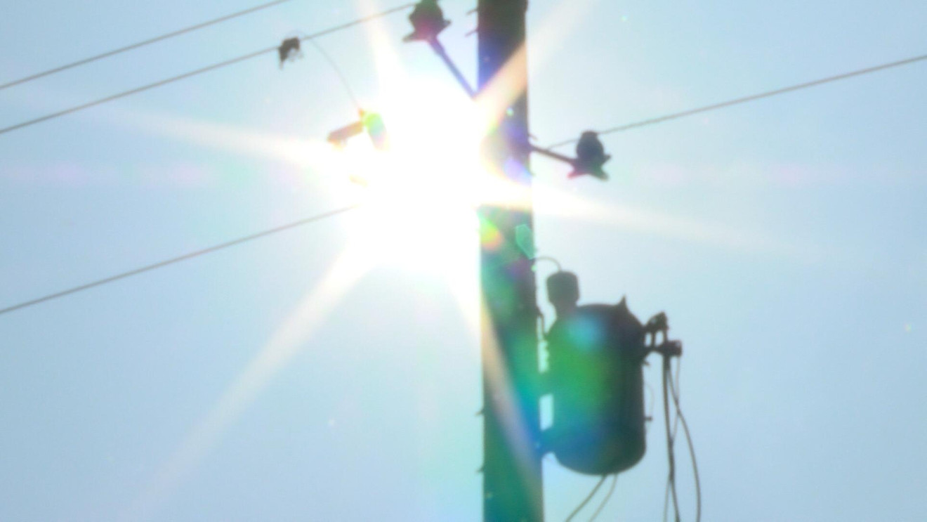
Austin Energy announced it is activating enhanced safety measures in response to the fire risk.
“Based on today’s forecast and the National Weather Service’s Red Flag Warning for the Austin area, Austin Energy is taking additional safety precautions by activating its enhanced powerline safety settings,” the utility said in a post on X.
The utility says that, between noon on Sunday and 8 p.m. on Monday, outage restoration may take longer than usual.
Crews will be physically walking and inspecting affected circuits to make sure equipment is clear to re-energize, Austin Energy saying that doing inspections on foot gives crews better visibility into potential issues than patrolling circuits with vehicles.
The utility says the enhanced safety settings are designed to reduce the risk of fires caused by powerlines.